

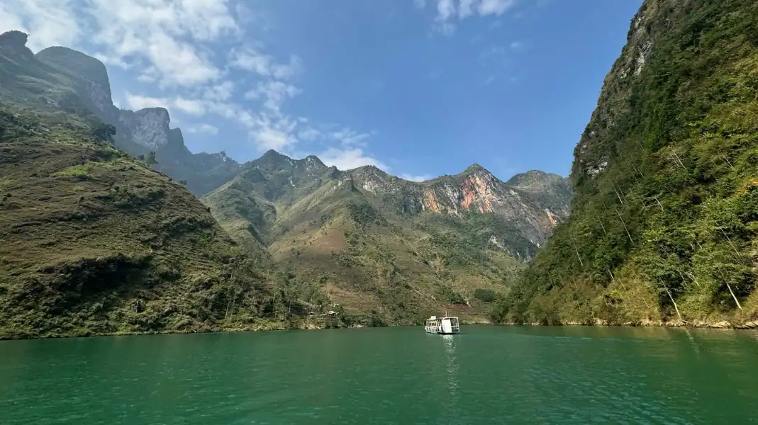
While most travelers experience Northern Vietnam on a motorbike, trekking in Ha Giang offers a far deeper, more intimate encounter with the Dong Van Karst Plateau and the ancient primary rainforests of the Tay Con Linh range.
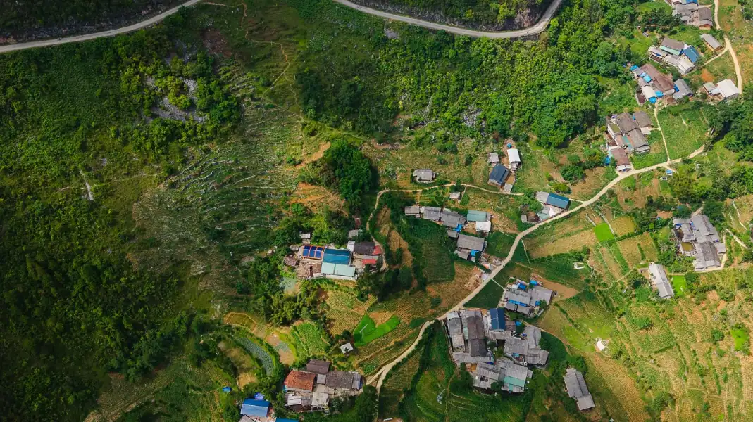
Walking along single-track buffalo paths connects you directly with roadless ethnic Tay, Dao, and Hmong villages, centuries-old Shan Tuyet tea trees, and sheer 1,700-meter limestone cliffs overlooking Tu San Canyon. This comprehensive 2026 trekking guide details the top 4 mountain routes, seasonal trail conditions, technical gear requirements, and border permit protocols.
Top 4 signature trekking routes across the province
1. Tay Con Linh summit and Khuoi My village trail
- Trail Profile: 32 km total / +1,800m elevation gain / Challenging grade.
- Route Highlights: Starting directly from TVPalm Ecolodge in Phuong Do, ascend through the stilt-house villages of Thon Tha and Khuoi My. Hike through terraced cardamom plantations and ancient Shan Tuyet tea forests before conquering the 2,427-meter Tay Con Linh summit, the highest peak in Northeast Vietnam.
2. Ma Pi Leng White Cliffs Skywalk trek
- Trail Profile: 8 to 12 km / +450m elevation gain / Moderate grade.
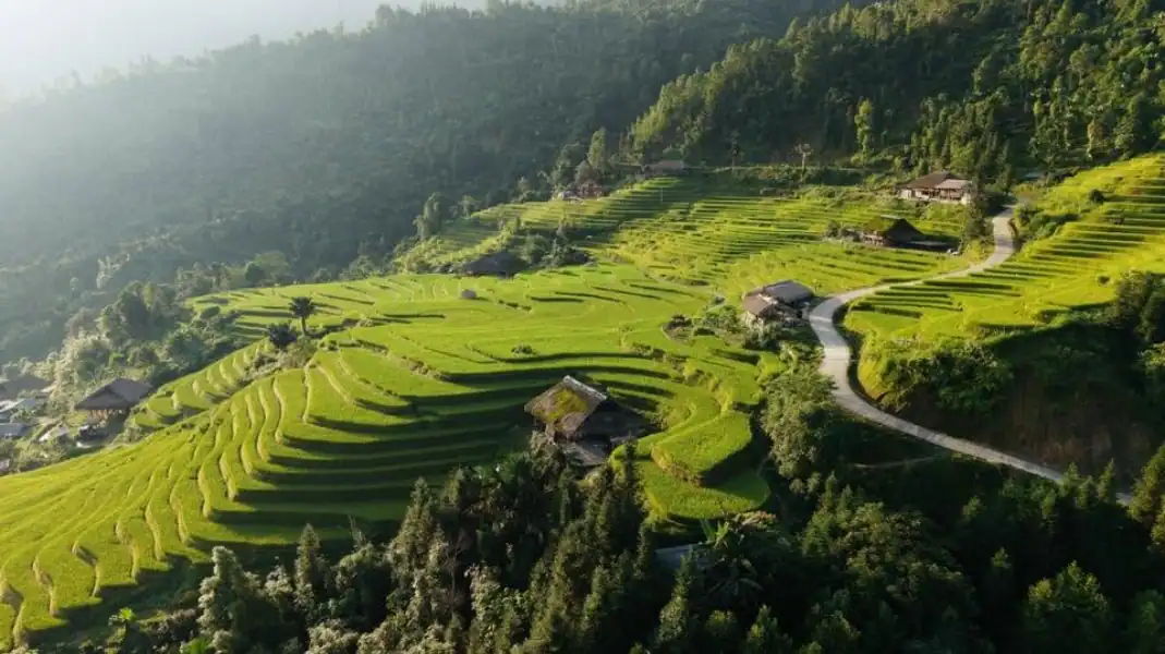
- Route Highlights: Traverses the legendary White Cliffs (Vach Da Trang) footpath carved into the vertical limestone face 1,700 meters above sea level. Offers 360-degree vistas directly into the 800-meter Tu San Canyon and emerald Nho Que River.
3. Hoang Su Phi heritage rice terrace expedition
- Trail Profile: 24 to 36 km / +900m elevation gain / Moderate grade.
- Route Highlights: Wind through the UNESCO-recognized national heritage terraced rice fields of Ban Phung, Nam Ty, and Ho Thau, staying in authentic Black Dao and Nung family homestays.
4. Chieu Lau Thi cloud-hunting ridge hike
- Trail Profile: 16 km / +1,100m elevation gain / Moderate-Challenging grade.
- Route Highlights: Climb Ha Giang’s second-highest summit (Chieu Lau Thi at 2,402m) along a dramatic ridgeline famous for spectacular sea-of-clouds sunrises and ancient rhododendron forests.
Comprehensive route comparison: Distance, difficulty, and trail profiles
| Trekking Route | Region / District | Distance & Duration | Trail Difficulty | Key Scenic Highlights |
|---|---|---|---|---|
| Tay Con Linh Summit | Vi Xuyen / Ha Giang City | 32 km (3 Days / 2 Nights) | Challenging | Ancient 500-year tea trees, jungle canopy, peak summit |
| Ma Pi Leng Skywalk | Dong Van to Meo Vac | 10 km (1 Day / 5-6 Hours) | Moderate | White Cliffs, Tu San Canyon abyss, Nho Que River |
| Hoang Su Phi Terraces | Hoang Su Phi District | 28 km (2-3 Days) | Moderate | Sculpted golden rice terraces, ethnic Dao/Nung cultures |
| Chieu Lau Thi Peak | Hoang Su Phi / Xin Man | 16 km (2 Days / 1 Night) | Moderate-Hard | Cloud inversion seas, mossy alpine forests, sunrise ridge |
Seasonal weather windows and optimal trekking months
Golden autumn harvest and buckwheat blooms
- Conditions: Crisp dry air, daily temperatures between 16°C and 24°C, minimal rainfall.
- Highlights: Hoang Su Phi’s terraced fields turn vibrant golden yellow in September and October, followed by blooming pink buckwheat flowers across Dong Van in November. This is the undisputed prime trekking season.
Spring blossoms and watering terrace mirrors
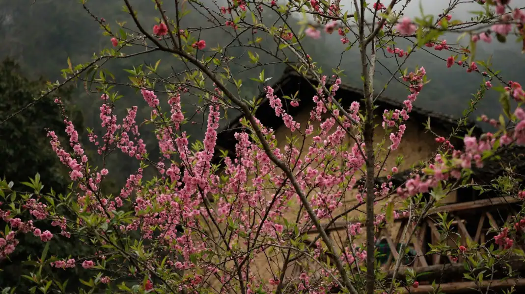
- Conditions: Mild sunshine, blooming peach and plum orchards, refreshing mountain breezes.
- Highlights: In April and May, farmers channel mountain springs onto terraced rice paddies, creating shimmering « mirror terraces » that reflect dramatic clouds and blue skies.
Essential technical gear and safety checklist for karst terrain
Limestone rock in Northern Vietnam is razor-sharp when dry and extremely slippery when damp. Proper gear ensures foot stability and safety.
- High-traction trekking shoes with deep lugged Vibram or Contagrip rubber outsoles (trail running shoes or hiking boots).
- Telescoping trekking poles with rubber and mud baskets to reduce knee strain by up to 25% on steep descents.
- Breathable, moisture-wicking synthetic merino layers and a lightweight waterproof rain shell.
- Compact 25L to 35L daypack with integrated waterproof rain cover.
- Personal water purification bottle, electrolyte tablets, and high-energy trail snacks.
Frequently asked questions about trekking in Ha Giang
Do I need a local guide to trek in Ha Giang?
Yes. Dense jungle canopies, unmarked trail intersections, steep karst drop-offs, and rapid mountain fog make hiring a licensed local guide essential for safety and cultural connection with village homestay hosts.
Do I need a border permit for trekking?
Yes. Foreign trekkers venturing into border districts must hold a Border Area Entry Permit (Giay phep vao khu vuc bien gioi). TVPalm arranges all permits directly with the immigration authority.
Can beginners complete treks in Ha Giang?
Beginners with good general fitness can comfortably complete the 1-day Ma Pi Leng Skywalk or 2-day Hoang Su Phi cultural walks. Multi-day Tay Con Linh summit treks require moderate endurance.
Written by Van Trung Nguyen, Lead Expedition Director & Licensed Tour Operator at TVPalm Adventure, Ha Giang. Providing safety compliance briefings and leading small-group eco-journeys across Northeast Vietnam since 2021.


