Travel guide
Ha Giang Loop route: the 4-day itinerary, passes and roads
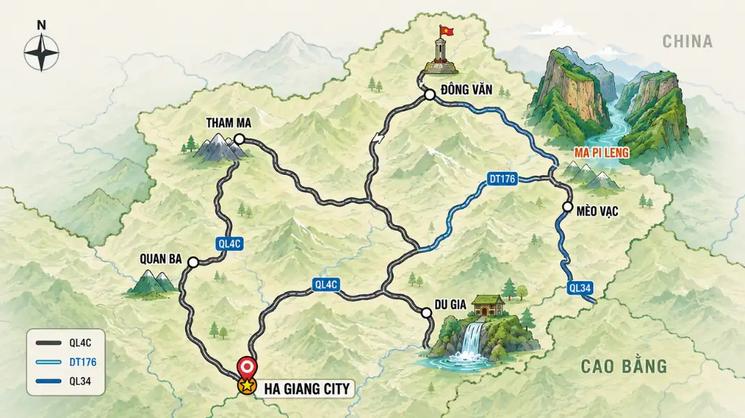
The Ha Giang Loop is a circular route of roughly 350 to 400 km through the Dong Van Karst Plateau UNESCO Global Geopark and the


The Ha Giang Loop is a circular route of roughly 350 to 400 km through the Dong Van Karst Plateau UNESCO Global Geopark and the

Ha Giang Province has some of Northern Vietnam’s highest summits. This guide covers the top 8 highest mountains, their elevations, trail profiles and seasons.
Mobile signal on Tay Con Linh is patchy and inconsistent, with stable 4G limited to gateway villages while primary rainforests experience dead zones. This connectivity guide covers carriers, eSIMs, offline GPS, and safety protocols.
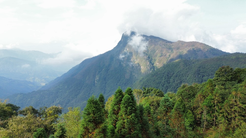
Mount Tay Con Linh is located in Ha Giang Province, Northern Vietnam, spanning the administrative districts of Vi Xuyen and Hoang Su Phi, approximately 300 km northwest of Hanoi. This guide details coordinates, transit routes, and surrounding villages.
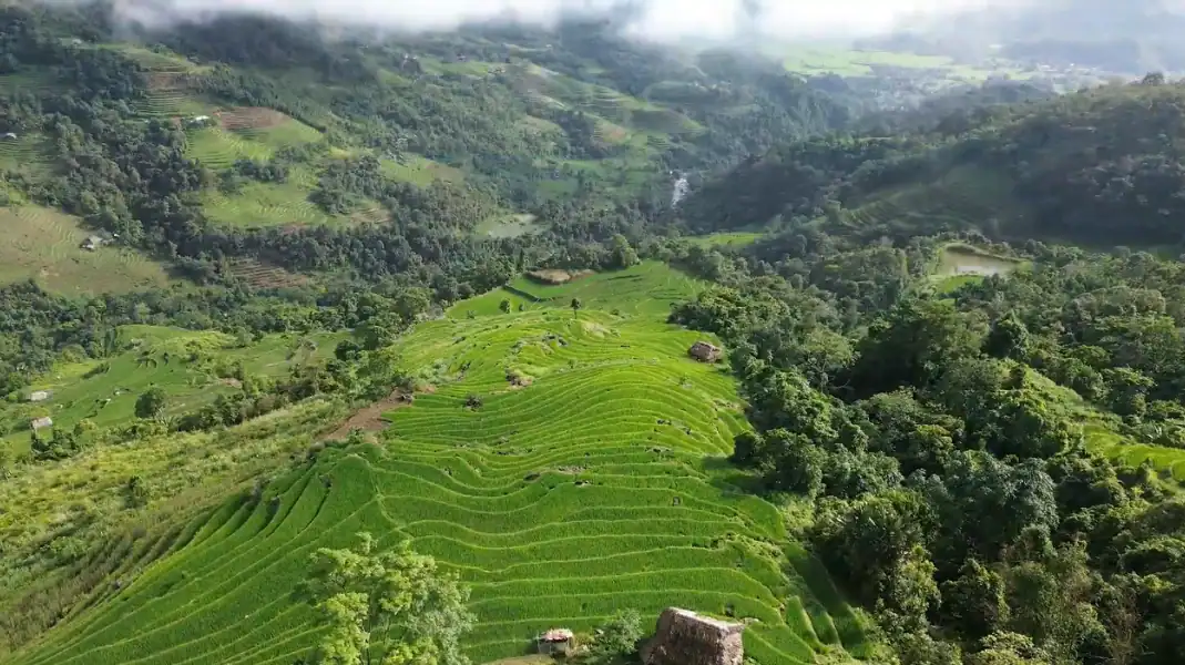
Khuoi My is a quiet Dao Ao Dai village on the lower slopes of Tay Con Linh, the mountain range that the people here consider
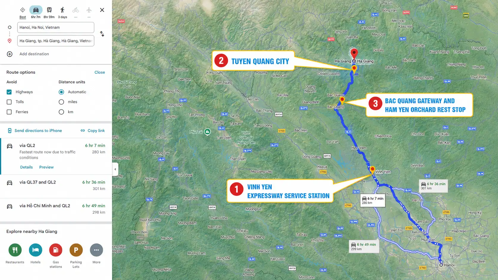
Traveling the 300-kilometer route from Hanoi to Ha Giang City takes between 5.5 and 7 hours. This complete highway guide details the 3 major rest stop clusters along Expressway CT05 and Highway QL2, safety tips, and comfort advice.
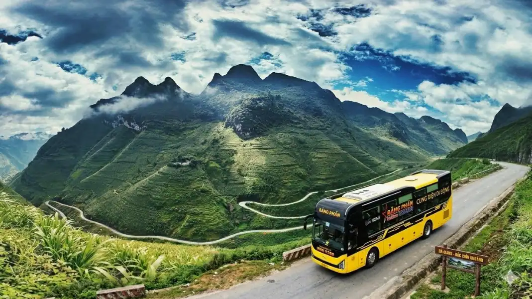
As a reference only (fares are never fixed; TVPalm checks the current fare and tells you before you book), bus tickets from Hanoi to Ha
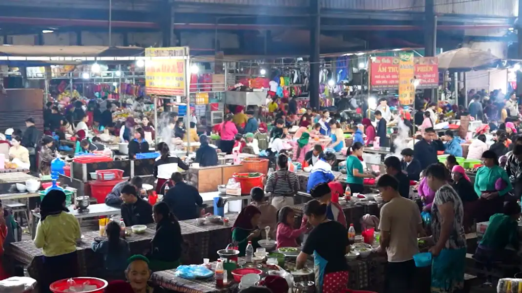
A Ha Giang market is not a souvenir street. It is where mountain families come once a week to sell, buy, eat and talk: Hmong,
Joining a group tour on the Ha Giang Loop is an unforgettable social adventure. This insider guide provides tips on 20L packing, homestay etiquette, party vs eco-groups, and safety preparation.
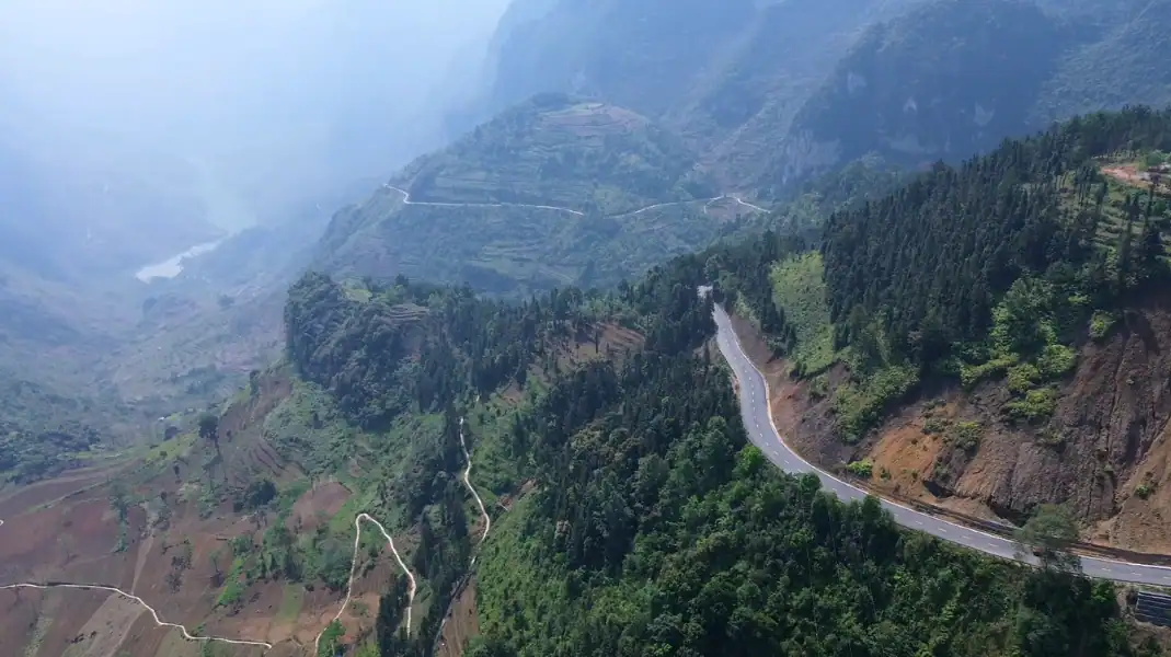
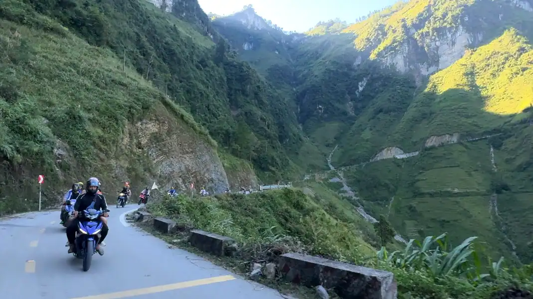
Ma Pi Leng Pass is the crown jewel of the Ha Giang Loop, stretching 20 kilometers along QL4C at an altitude of 1,500 meters with dramatic drop-offs to the Nho Que River. This guide covers history, viewpoints, boat tours, and safety.
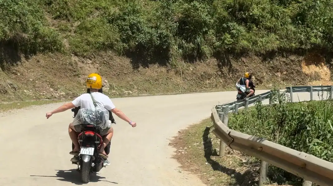
The Ha Giang Loop starts in Ha Giang City, at the Km0 milestone. This 2026 guide covers morning arrivals, luggage storage, clockwise vs counter-clockwise routes and checklists.
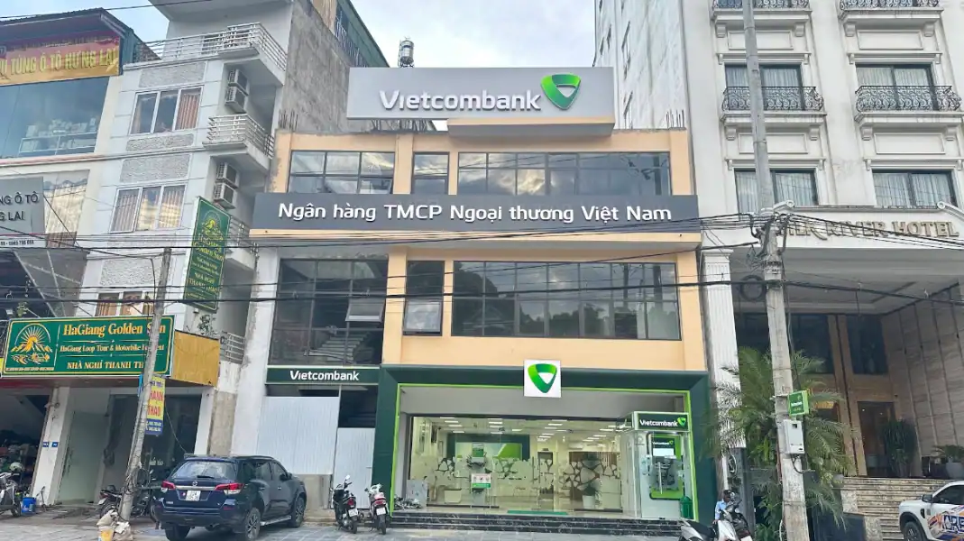
Counting on ATMs along the Ha Giang Loop is a common mistake. Machines in the district towns run out of notes, go offline in storms

Food in Ha Giang (part of Tuyen Quang province since July 2025) is mountain food: shaped by stone, cold winters and the crops that grow
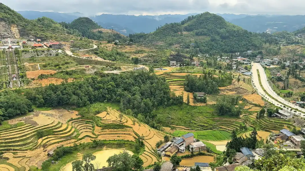
Quan Ba Heaven Gate is located 43 kilometers north of Ha Giang City along National Highway 4C at 1,500 meters altitude. This 2026 travel guide details driving directions, cloud hunting, and nearby cultural stops.
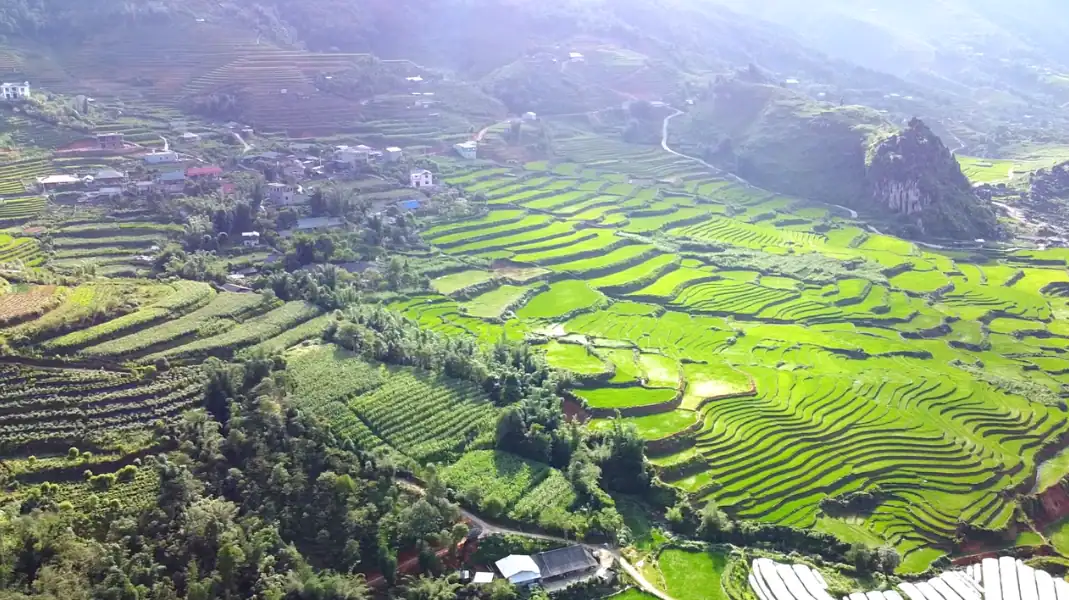
Weather decides a lot on the Ha Giang Loop: how much you see, how the roads feel, and what you need to wear. The loop

Explore authentic trekking routes to see Tonkin snub-nosed monkeys in Ha Giang. Learn ranger patrol trails, legal permit steps, terrain challenges, and ethical viewing rules.
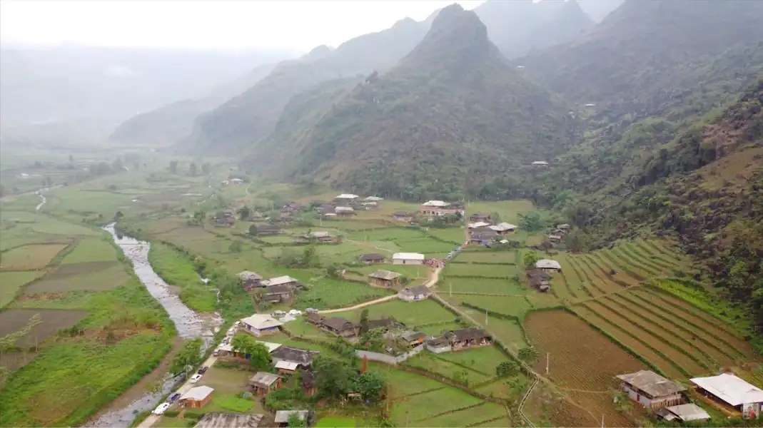
Du Gia is the quietest overnight stop on the Ha Giang Loop, and for many travellers the one they remember most. Ha Giang has been

Capturing stunning photos along the 350-kilometer Ha Giang Loop requires the right camera gear, optical filters to cut limestone haze, and roadside stopping safety. This guide covers gear, viewpoints, drone rules, and lighting windows.
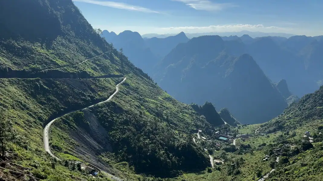
A shared Ha Giang tour is a common and affordable way to ride the 350 km Ha Giang Loop without planning it yourself. This guide covers prices, safety and itineraries.
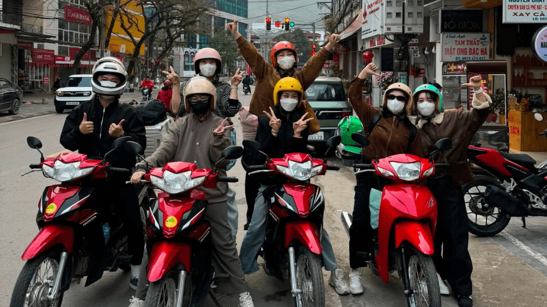
A Ha Giang easy rider tour is a guided motorbike trip where you sit behind an experienced local rider. It covers the Ha Giang Loop

Conquering the 2,428-meter summit of Mount Tay Con Linh demands specialized gear. This authoritative guide presents the top 12 essential gear items you must pack.


