
Travel guide
Photographing Tay Con Linh: 13 places, from the villages to the summit
Mount Tay Con Linh (2,428 m) offers photography across landscape, culture and trekking. This 2026 guide lists 13 photo spots in three elevation zones.


Mount Tay Con Linh (2,428 m) offers photography across landscape, culture and trekking. This 2026 guide lists 13 photo spots in three elevation zones.
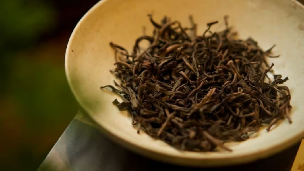
Finding a meaningful souvenir in the mountains of Ha Giang (part of Tuyen Quang province since July 2025) is harder than it looks. Many stalls
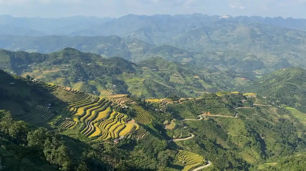
Maintaining physical health and mental alertness is the single most important factor for safely completing the 350-kilometer Ha Giang Loop. This guide covers hydration, motion sickness, altitude, and first-aid preparation.
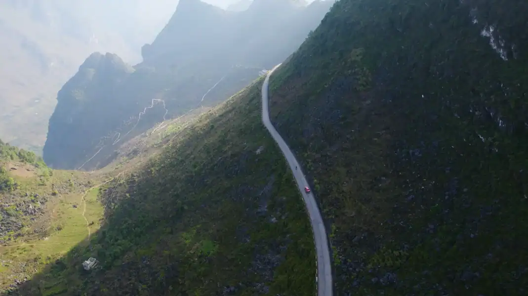
The classic Ha Giang Loop on National Road 4C is spectacular, but in Ha Giang (part of Tuyen Quang province since July 2025) it is
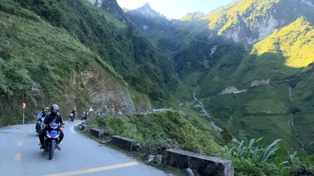
Riding a motorbike through the 350-kilometer Ha Giang Loop is one of the world’s greatest road adventures. This 2026 expert guide details motorcycle selection, 1968 IDP legal requirements, police checkpoints, and mechanical checklists.
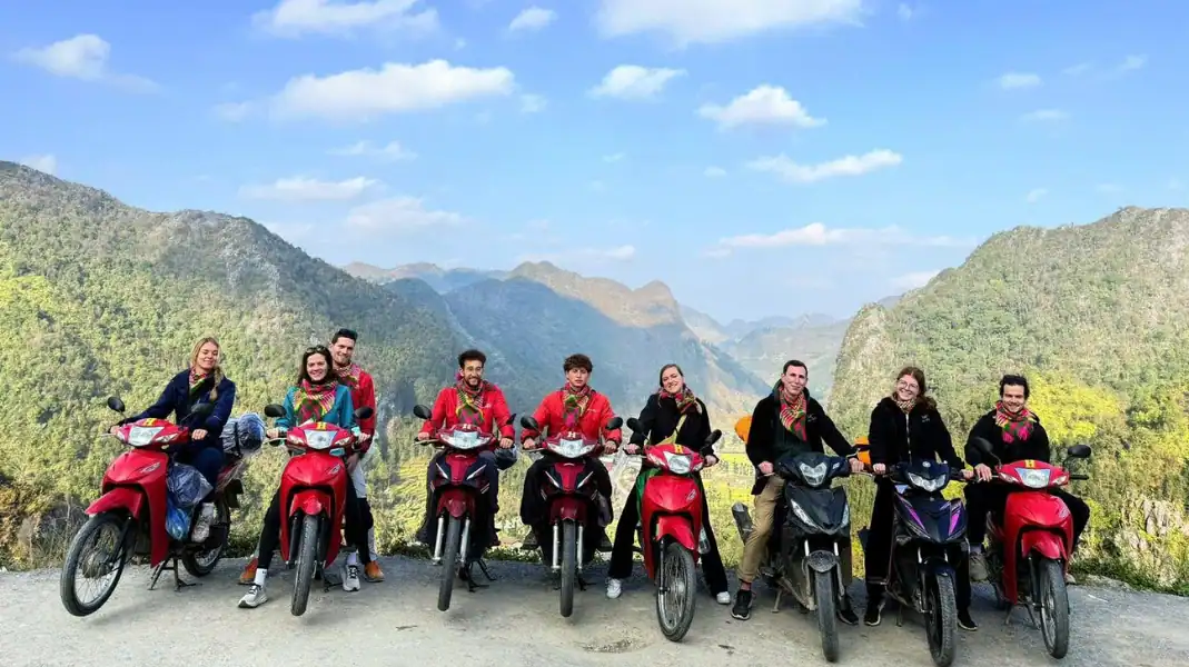
Hiring a Ha Giang Easy Rider is the single most impactful decision you can make before your motorbike trip through the Dong Van Karst Plateau.

Good stops make the Ha Giang Loop, in Ha Giang (part of Tuyen Quang province since July 2025), safer and much more enjoyable. This guide
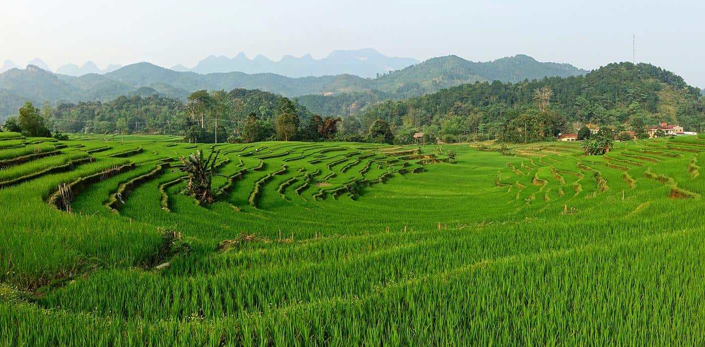
Away from the busy main road of the Ha Giang Loop, Ha Giang (part of Tuyen Quang province since July 2025) still has quiet villages
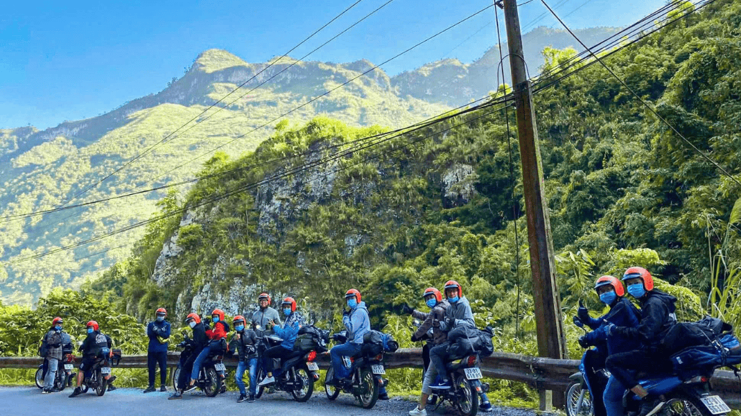
The Ha Giang Loop by Easy Rider motorbike or by private car is the central decision every traveller makes before arriving in Ha Giang (part
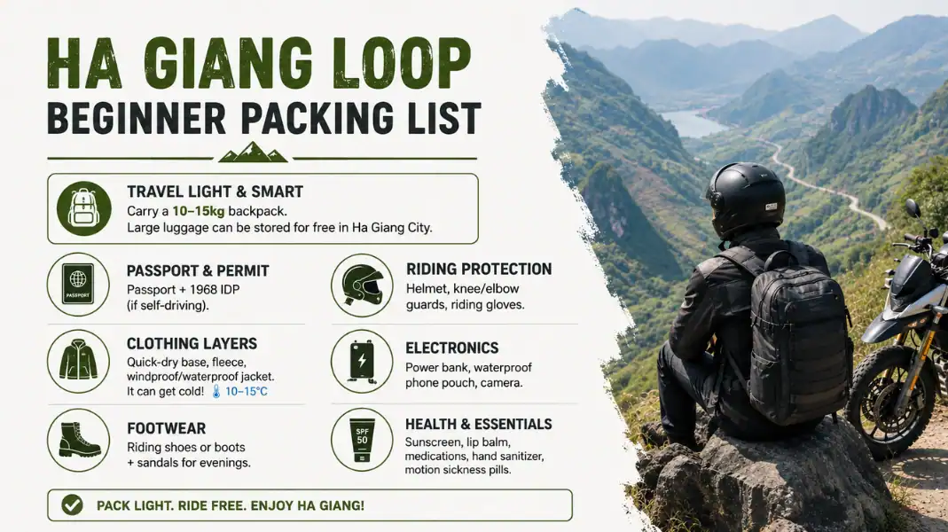
This beginner guide covers everything you need for a safe 350-kilometre mountain circuit across the Dong Van Karst Plateau in northern Vietnam. TVPalm runs the
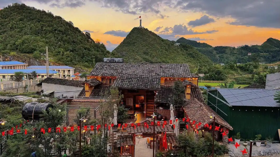
The Ha Giang Loop is a 350-kilometer highland circuit in Northern Vietnam. This definitive guide curates the top 10 must-see stops along the circular route, providing practical timing, distance markers, and local travel insights.
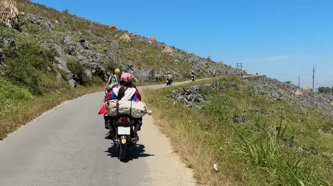
Deciding between a solo trek and a guided tour on Mount Tay Con Linh (2,428m) is the most critical safety choice in Northeast Vietnam. This guide compares navigation, permits, costs, and safety.
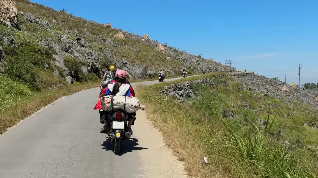
Choosing between a private tour and a group tour on the Ha Giang Loop shapes your pace, safety, comfort, and cultural depth. This comparison guide breaks down costs, safety standards, accommodation, and travel styles.
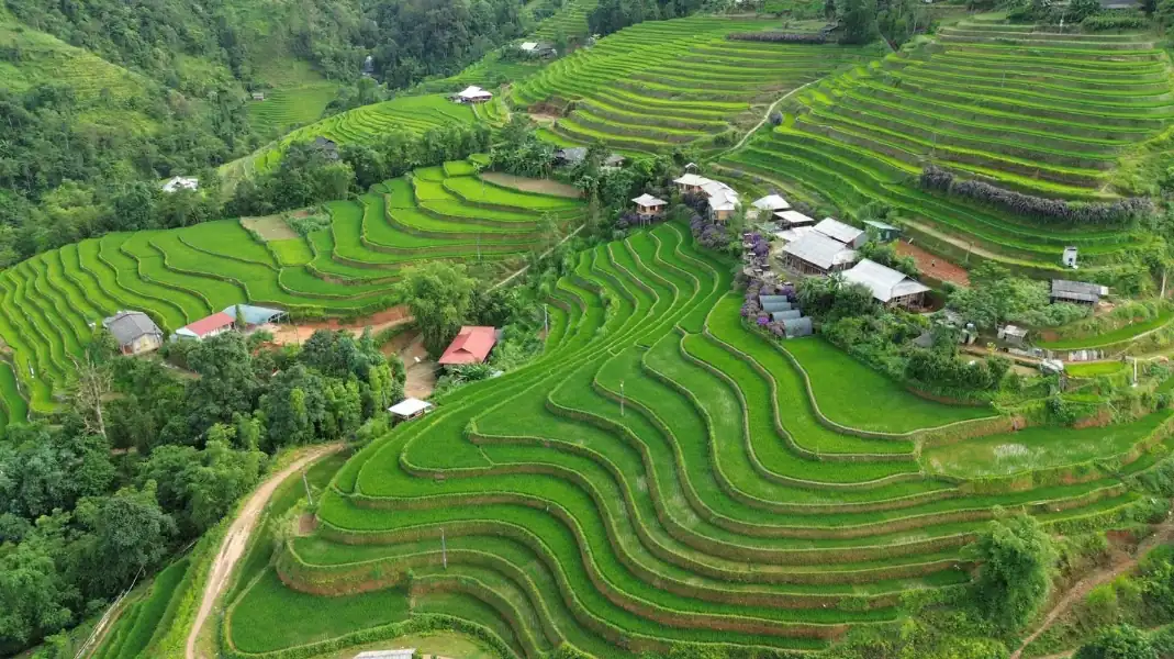
The best times to visit Ha Giang (part of Tuyen Quang province since July 2025) are usually September to November and March to May: dry
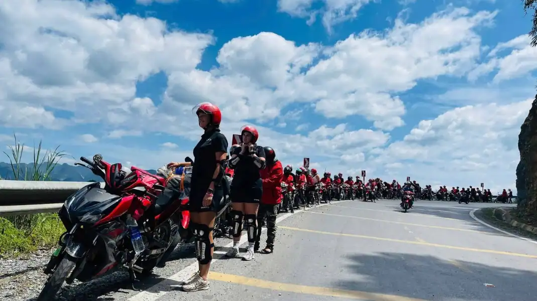
Trekking Mount Tay Con Linh (2,428 meters) is an authentic wilderness expedition. This 2026 pacing guide compares all 4 duration tiers, from half-day walks to the classic 3-day summit trek.
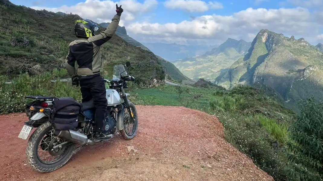
Hiking Mount Tay Con Linh during the summer monsoon season is an intense, raw wilderness expedition. This safety guide covers trail slippage, leech prevention, flash flood safety, and essential waterproofing gear.
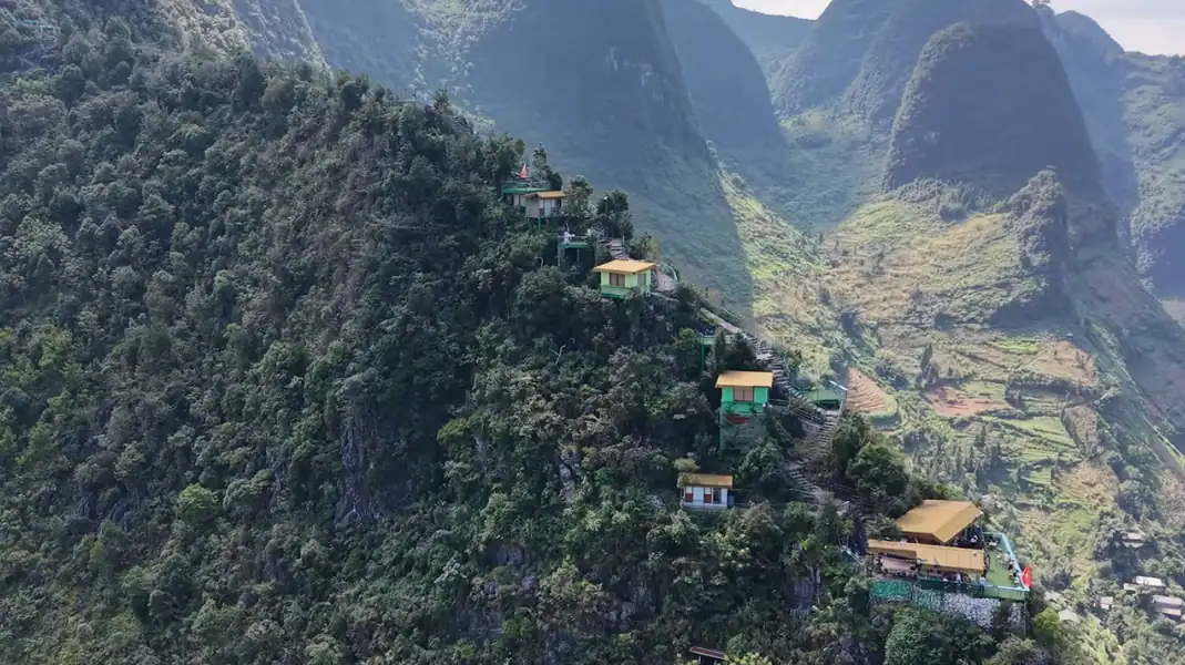
Comparing Mount Tay Con Linh (2,428m) and Ky Quan San (3,046m) reveals two distinct high-altitude challenges in Northern Vietnam. This guide provides a direct breakdown of terrain, difficulty, logistics, and weather.
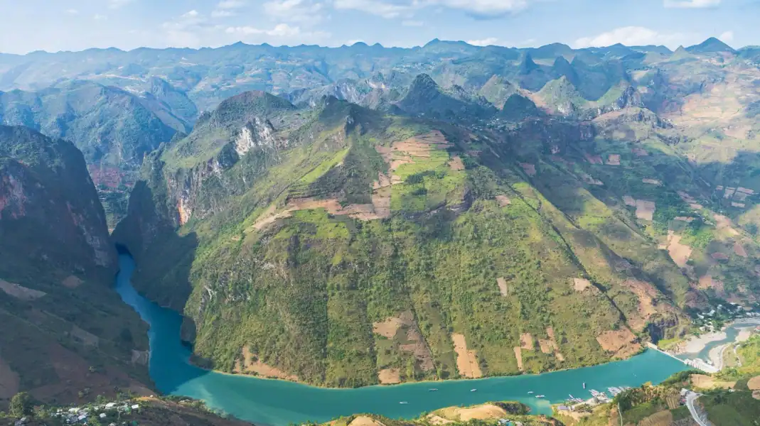
Conquering Mount Tay Con Linh (2,428 meters) is Northern Vietnam’s ultimate alpine adventure. This 202 master guide covers trail profiles, mandatory border permits, seasonal timing, and technical preparation.

A Tonkin snub-nosed monkey tour is not a standard wildlife safari. The Tonkin snub-nosed monkey (Rhinopithecus avunculus) is one of the rarest primates on Earth:
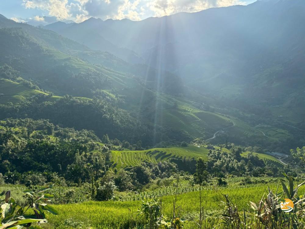
Book your 2026 Tay Con Linh mountain climbing tour with TVPalm. Discover 1-day, 2-day, and 3-day guided summit expeditions with indigenous Dao guides and porters.
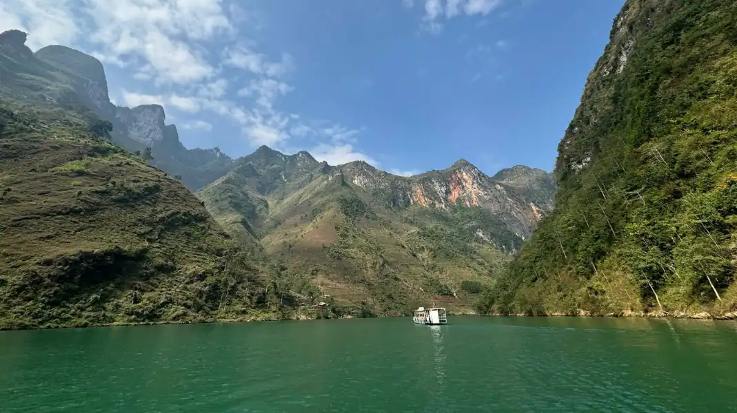
While most travelers experience Northern Vietnam on a motorbike, trekking in Ha Giang offers a far deeper encounter with primary rainforests and high karst peaks. This 2026 guide covers the top 4 routes, gear, and permit rules.


