

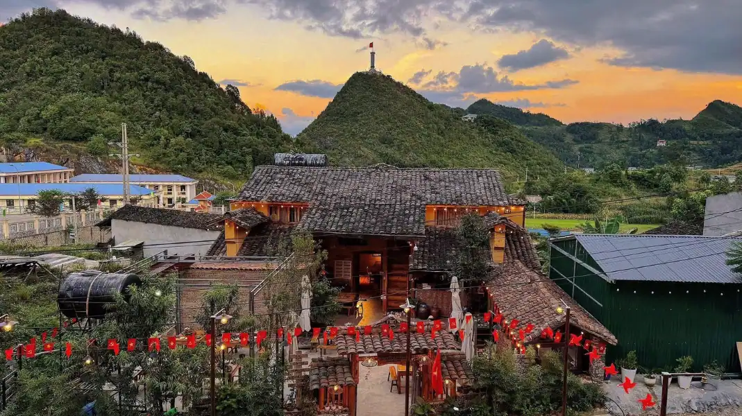
The Ha Giang Loop is a road circuit of about 350 km in Vietnam’s far north. It climbs from around 120 m to over 1,600 m and crosses the Dong Van Karst Plateau, a UNESCO Global Geopark. What you find there is limestone, steep passes, river canyons and villages where Hmong, Tay, Dao and Lo Lo families still farm the slopes.
These are the 10 stops we think are worth your time, in loop order. For each one: what to look at, and one practical tip. We left out places that only work as a photo.
The 10 stops, in loop order
1. Bac Sum Pass & Quan Ba Heaven Gate
Bac Sum Pass is where the lowlands end and the karst plateau begins. The road climbs about 8 km of hairpins to Quan Ba Heaven Gate (Cong Troi Quan Ba), at roughly 1,500 m. On a clear morning, mist sits in Tam Son Valley below. On a cloudy day you see very little. That happens often, so plan for it.
- What to see: the hairpins, the view over Tam Son Valley, the old gateway marker.
- Tip: Stop at the coffee terrace by the gate for hot ginger tea. Mornings are usually clearer than afternoons.
2. Quan Ba Twin Mountains
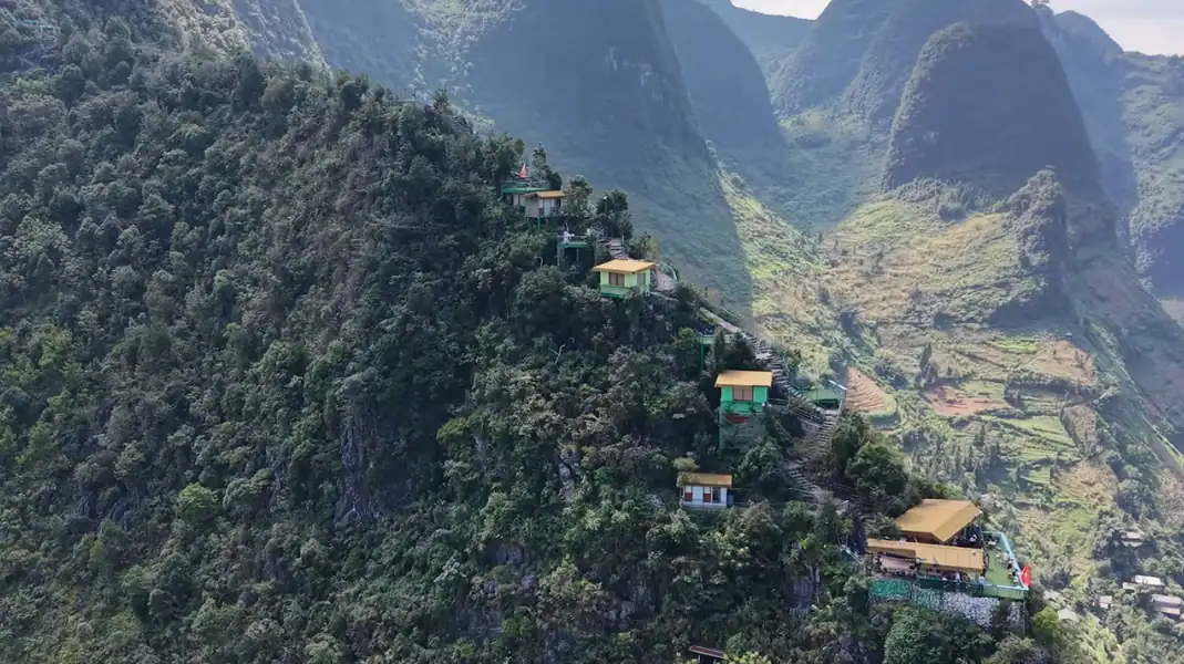
In the middle of Tam Son Valley, two rounded limestone hills stand side by side: Nui Doi Quan Ba, also called Co Tien Mountain. Erosion shaped them over millions of years.
Rice grows around them, green in summer and gold in autumn. A local legend says a fairy left them behind to feed the valley. You will hear different versions depending on who tells it.
- What to see: the two hills, and the colour of the fields, which changes with the season.
- Tip: The viewpoint just off Highway 4C gives the clearest angle. Bring a wide lens if you have one.
3. Lung Khuy Cave
Lung Khuy is one of the largest caves on the plateau, running about 300 m into the mountain. A 1.2 km path climbs from Lung Khuy village to the entrance. Inside are stalactites, stalagmites and stone curtains under soft lighting.
- What to see: the rock formations, the cool air, the quiet.
- Tip: Wear shoes with grip. The steps inside are often wet.

4. Tham Ma Pass
Tham Ma has nine tight S-bends cut into a steep ridge between Yen Minh and Pho Bang. The name means “testing horses”: traders once judged a pack horse by whether it could carry a full load to the top without stopping.
- What to see: the nine bends from above, with the gorge behind them.
- Tip: Stop at the parking area at the top for the view down the bends.
5. Sung La Valley & Pao’s House
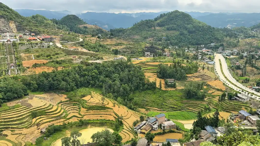
Sung La is a flat, fertile valley ringed by rock walls. Hmong and Han families live here in earth-walled houses with yin-yang tiled roofs. The best-known is Pao’s House (Nha cua Pao), a century-old Hmong home used as the set for the Vietnamese film The Story of Pao.
- What to see: earth-walled houses, stone fences, buckwheat fields in season.
- Tip: Buckwheat flowers (tam giac mach) usually bloom in October and November. Outside those months the valley is quieter and still worth the stop.
6. Hmong King’s Palace
In Sa Phin Valley stands the house of Vuong Chinh Duc, the Hmong leader who ruled this area in the early 20th century. It was built between 1898 and 1907 from stone, ironwood and clay tiles. The style mixes Qing Chinese architecture, French colonial defences and Hmong craftsmanship.
- What to see: the wood carvings, the stone pillars carved with poppy motifs, the double defensive walls.
- Tip: Come early, between 8:00 and 9:30, before the tour groups. The courtyards are quiet and the light is soft.
7. Lung Cu Flag Tower & Lo Lo Chai Village
Lung Cu Flag Tower stands on Dragon Mountain (Nui Rong) at about 1,470 m, close to Vietnam’s northernmost point.
The flag at the top measures 54 m², one square metre for each of Vietnam’s 54 ethnic groups. Below the mountain lies Lo Lo Chai, a Lo Lo village of earth houses and stone paths, where some families still weave hemp.
- What to see: the view across the border into Yunnan, China, and the Lo Lo houses below.
- Tip: The climb to the tower is several hundred stone steps; an electric cart covers part of the way. Afterwards, give Lo Lo Chai an hour on foot. It is the quieter half of this stop.
8. Dong Van Old Town
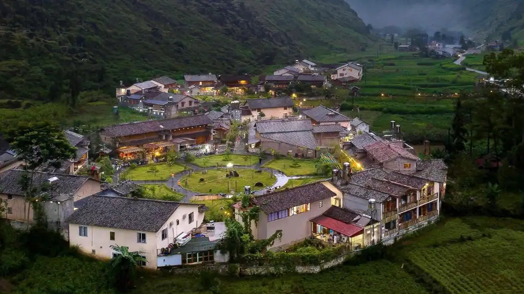
Dong Van sits in a limestone valley near the Chinese border. Its old quarter is a market square lined with two-storey earth and wood houses from the late 19th and early 20th centuries. At weekends the streets fill with lanterns, music and stalls selling hotpot and corn wine.
- What to see: the old houses, the Sunday market, the French fort on the hill.
- Tip: Walk up to Don Cao, the French fort above town, for sunset. It takes about 20 minutes.
9. Ma Pi Leng Pass & Tu San Canyon
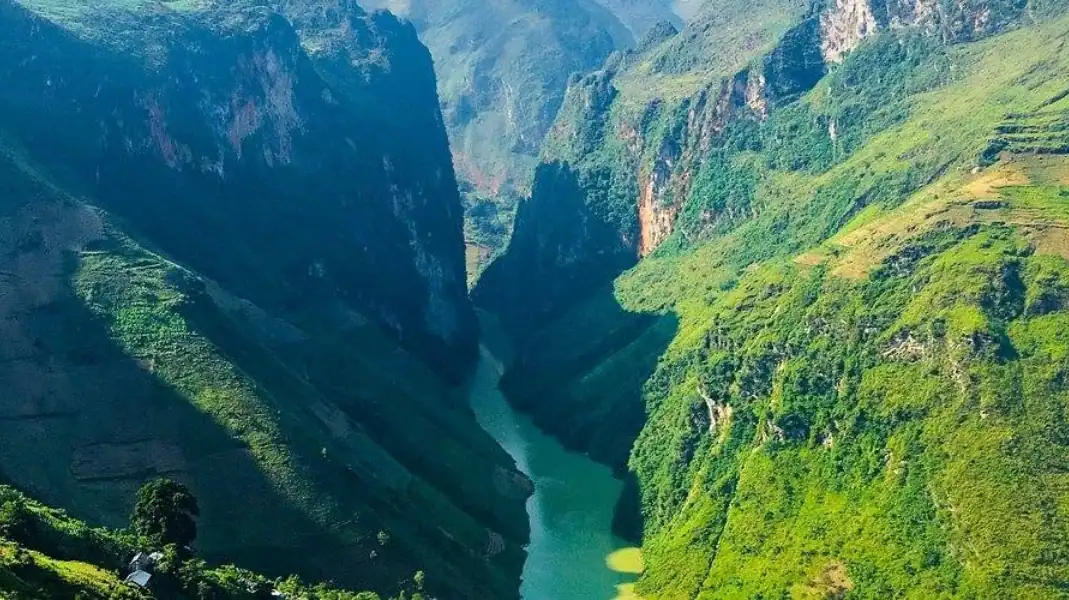
Ma Pi Leng is a pass of about 20 km cut into limestone cliffs, around 1,500 m above sea level. Far below, the green Nho Que River runs through Tu San Canyon, often described as the deepest canyon in Vietnam. You can stop at the lookouts, walk the White Cliff path (Vach Da Trang) and take a boat of about 45 minutes through the canyon.
- What to see: the river from above, the canyon by boat, the Happiness Road monument.
- Tip: Allow at least 3 hours if you want both the lookouts and the boat from Ta Lang wharf.
10. Du Gia Waterfall & Valley
Du Gia lies on the southern half of the loop, in Yen Minh district. It is a green valley of rice fields, streams and stilt houses of Tay and Black Hmong families. The waterfall drops into a deep pool where people swim after a long day on the road.
- What to see: the waterfall and its pool, the stilt houses, a slower pace.
- Tip: Du Gia works well as the last night of a 4-day loop; the ride back to Ha Giang City goes over Mau Due Pass. Some homestays here get lively in the evening, so if you want quiet, ask before you book.
Entrance fees
Most viewpoints along Highway 4C are free. Caves, monuments and the boat charge small fees, collected locally. The figures below are a guide only: fees change, so bring cash and check on arrival.
| Attraction / Activity | Entrance Fee (VND) | Approximate USD | Opening Hours |
|---|---|---|---|
| Lung Khuy Cave | 50,000 VND | $2.00 | 07:30 – 17:00 |
| Pao’s Story House (Sung La) | 10,000 VND | $0.40 | 08:00 – 17:30 |
| Hmong King’s Palace (Sa Phin) | 20,000 VND | $0.80 | 07:30 – 17:30 |
| Lung Cu National Flag Tower | 25,000 VND (electric tram: 15,000 VND) | $1.00 – $1.60 | 07:00 – 17:30 |
| Nho Que River Boat Cruise (Tu San) | 120,000 – 150,000 VND | $4.80 – $6.00 | 07:30 – 17:00 |
| Du Gia Waterfall | Free (parking: 10,000 VND) | $0.40 (parking) | Open 24/7 (Daylight recommended) |
A 4-day itinerary that covers all 10 stops
| Day & Segment | Distance | Stops Visited | Overnight Base |
|---|---|---|---|
| Day 1: Ha Giang to Yen Minh / Dong Van | 110 – 140 km | Bac Sum Pass, Quan Ba Heaven Gate, Twin Mountains, Lung Khuy Cave, Tham Ma Pass | Yen Minh or Dong Van Old Town |
| Day 2: Dong Van to Lung Cu & Dong Van | 70 km | Sung La Valley, Hmong King’s Palace, Lung Cu Flag Tower, Lo Lo Chai Village | Dong Van Old Town |
| Day 3: Dong Van to Meo Vac & Du Gia | 90 km | Ma Pi Leng Pass, Tu San Canyon Boat Tour, Meo Vac Town, Mau Due Highland Pass | Du Gia Village Homestay |
| Day 4: Du Gia to Ha Giang City | 75 km | Du Gia Waterfall swim, Lung Tam Linen Weaving Village, return to TVPalm Ecolodge | Ha Giang City (Evening bus to Hanoi) |
Before you go
- Get your Border Area Permit (260,000 VND, about $10 per person) in Ha Giang City before you set off. If you travel with TVPalm, we arrange it for you.
- Pack a 20 L waterproof daypack with warm layers, a raincoat and closed shoes.
- Carry at least 1,500,000 VND in cash. ATMs are rare outside the district towns.
- Travel with an experienced easy rider or a driver. TVPalm does not rent motorbikes or sell self-drive trips; your rider checks the bike every morning.
Ha Giang Loop stops: common questions
How many days do I need to see all 10 stops?
Four days and three nights. Three days is possible, but you will spend most of it on the road.
Can I see these stops without riding a motorbike myself?
Yes. On an easy rider tour, an experienced local rider drives and you sit behind. You can also travel by private car or 4×4 with a driver.
When do the buckwheat flowers bloom?
Usually from late October to November, around Sung La, Pho Bang and Lung Cu. The timing shifts with the weather each year.
Written by Nguyễn Văn Trung, founder of TVPalm. He has led small-group trips across Northeast Vietnam since 2021.


