

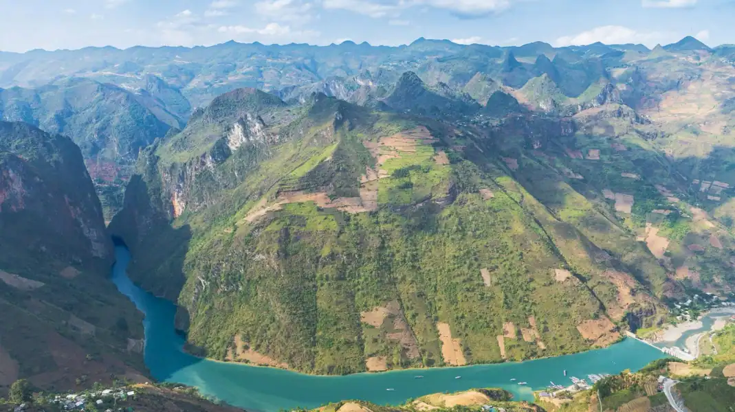
Tay Con Linh, at 2,428 m, is the highest peak in Northeast Vietnam. It rises behind Ha Giang city (part of Tuyen Quang province since July 2025), and it is our home mountain: TVPalm Ecolodge sits at its foot, near Khuoi My.
Our 3-day, 2-night trek starts at the ecolodge, crosses the Dao Ao Dai villages of Khuoi My and Lung Vai on the eastern slopes, continues round to Na Mau and Xa Phin on the north-western side, spends a night in Xa Phin and climbs to the summit through primary forest. This guide explains the mountain, the routes and how to prepare.
The mountain and its forest
Tay Con Linh rises above the Lo River valley and is covered, on its upper slopes, by some of the wildest forest in the north. As you climb, the landscape changes completely:
- On the lower slopes: rice terraces, corn fields and the Dao Ao Dai villages of Khuoi My, Lung Vai, Na Mau and Xa Phin, with old Shan Tuyet tea trees around the houses. Tay villages lie at the foot of the mountain, closer to the city.
- Higher up: primary forest with giant bamboo, tree ferns, moss and orchids, often in cloud. There is no road to the summit, only narrow paths.
Unlike Fansipan in Sapa, with its cable car and stairs, Tay Con Linh has no tourist facilities on the mountain. The paths are earth, roots and rock, and they are often wet.
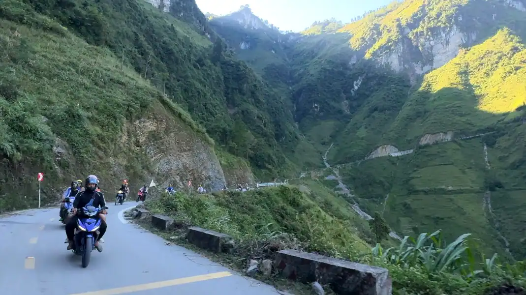
Highlights of the 3-day trek
Old tea trees and the Dao Ao Dai villages
On the way up, the trail passes old Shan Tuyet tea trees, with thick, mossy trunks. Dao Ao Dai families pick the young buds by hand and fire the tea in their kitchens.
The second night is spent in Xa Phin, where many old palm-leaf roofs are covered in moss. The homestay where our trekkers sleep, a Dao Ao Dai stilt house, is at about 920 m.
Primary forest and the summit
Above the villages, the route enters primary forest, with old trees hung with moss and lichen, bamboo thickets and streams.
On day 3 you leave Xa Phin at 06:00 and ride with an easy rider for about 1.5 hours to the forest ranger hut at 1,800 m. It is a short stop only: you cannot stay or camp there. From there you climb about 600 m through primary forest to the 2,428 m summit, and on a clear morning you look out over a sea of clouds.
Route options at a glance
Choose the route that fits your fitness and the time you have:
| Route | Distance and climb | Nights | Level |
|---|---|---|---|
| 1-day Na Thac ancient tea trek | About 3.25 km from the Na Thac gate (379 m) to the ancient tea garden (609 m), with time at the home of a Dao Ao Dai family | None | Easy to moderate |
| 3-day Tay Con Linh trek | Day 2: about 12.5 km through the villages; day 3: about 14.5 km, with about 600 m of climbing from the ranger hut (1,800 m) to the summit (2,428 m) | TVPalm Ecolodge, then a homestay in Xa Phin | Challenging |
| 2-day Tay Con Linh trek | Day 1: about 12.5 km through the villages; day 2: about 14.5 km, with about 600 m of climbing from the ranger hut (1,800 m) to the summit (2,428 m) | A homestay in Xa Phin | Challenging |
A mountain is not a trophy. The forest, the villages and the people who carry your bags are the reason to come, and the summit is the reward at the end.
Seasons, permit and safety
1. When to go
The best time to trek Tay Con Linh is from October to April: cooler, drier air, less mud and the best chance of a sea of clouds from the top.
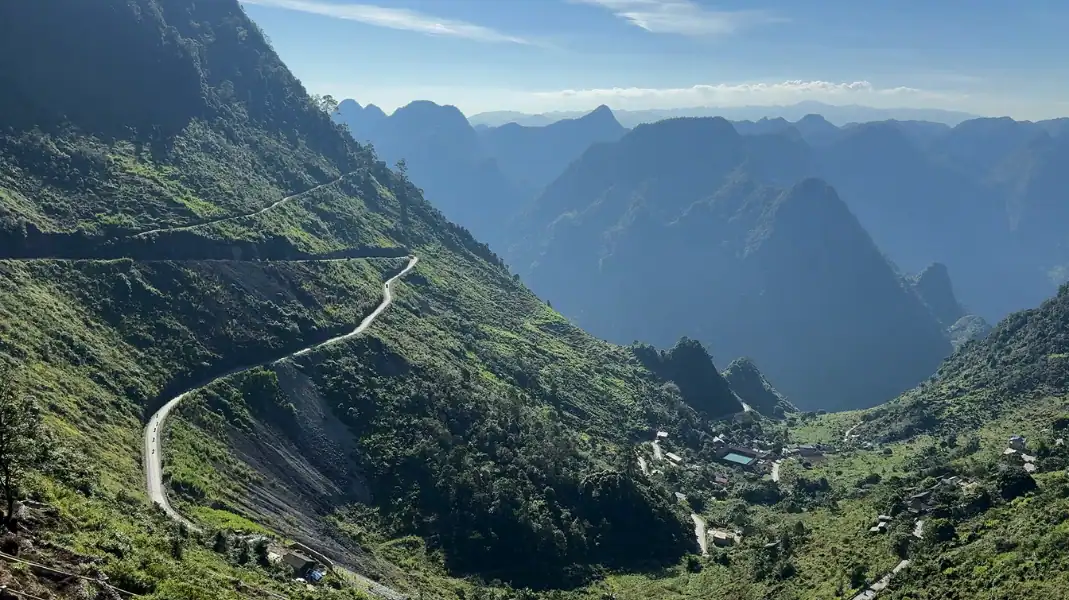
From May to September, the rainy season makes paths muddy and slippery, with leeches in the forest and clouds that often hide the view. We plan treks carefully in these months and may change them because of the weather.
2. The border area permit
Tay Con Linh is in the northern border area, so foreigners need a border area permit. TVPalm arranges it before your trek.
Trekking alone is not a good idea. Paths are unmarked, mobile signal is patchy or absent on much of the mountain, and the weather can change fast.
Walk with a TVPalm trek leader and local Dao porters, who know the paths. Read more in our guide to the 3-day Tay Con Linh trek.
What to bring
The summit day is long and steep. Bring:
- Broken-in trekking boots with deep grip for slippery clay, roots and wet stones.
- Trekking poles to save your knees on the long way down.
- Layers: a quick-dry base layer, a fleece and a warm jacket for the summit.
- A good rain jacket.
- A daypack with water, dry bags, a headlamp and blister plasters.

Frequently asked questions
How hard is Tay Con Linh compared with Fansipan?
Tay Con Linh is a wilder climb than Fansipan. There is no cable car and no stairs, the paths are narrow and often wet, and you need good fitness for the summit day.
Who leads the trek?
Every trek has a TVPalm trek leader. Local Dao porters help carry gear; they know the mountain well, but they are porters, not professional guides. All our trips are private: we do not run shared group departures.
How do I get from Hanoi to the start?
Take a night sleeper bus or a day limousine van from Hanoi to Ha Giang city (about 6 hours). From the bus station, take a taxi to TVPalm Ecolodge, about 10 km away. We are happy to call one for you.
Written by Nguyễn Văn Trung, founder of TVPalm. He has led small-group trips across Northeast Vietnam since 2021.


