

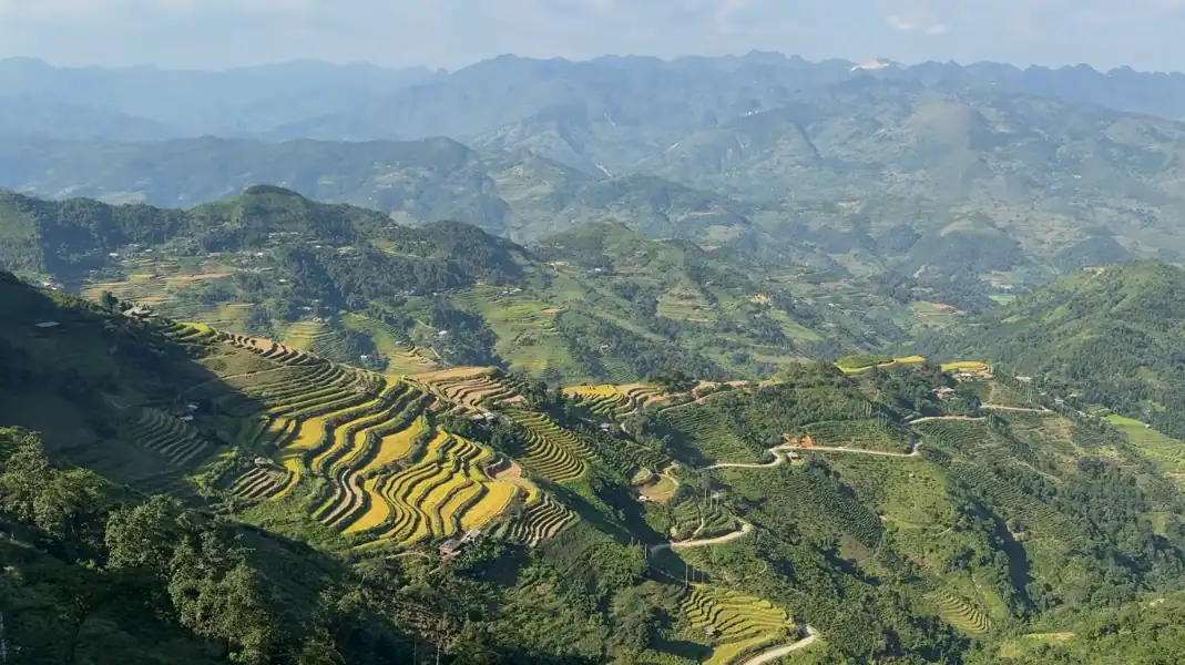
Trekking Mount Tay Con Linh (2,428 meters) in Ha Giang offers one of Southeast Asia’s most pristine high-altitude wilderness experiences, leading hikers through subtropical primary cloud forests, 500-year-old Shan Tuyet ancient tea groves, and remote Dao Ao Dai stilt villages.
As the highest peak in Northeast Vietnam, this roadless mountain requires disciplined footwork across 18 to 32 kilometers of rugged jungle single-track. This comprehensive guide covers route profiles, ecological zones, seasonal weather patterns, mandatory border permits, and essential packing advice.
Mountain profile and ecological wonder
Rising across the Vi Xuyen and Hoang Su Phi districts of Ha Giang province, Mount Tay Con Linh serves as the headwaters of the Chay River basin. Unlike heavily developed peaks with cable cars, Tay Con Linh remains 100% wild, preserved by indigenous Dao and Tay communities who maintain a sacred spiritual bond with the ancient forest.
| Parameter | Expedition Specification | Mountain Details |
|---|---|---|
| Peak Elevation | 2,428 meters (7,966 ft) | Roof of Northeast Vietnam |
| Location | Ha Giang Province | Vi Xuyen and Hoang Su Phi districts |
| Ecosystem Type | Subtropical Primary Cloud Forest | High-humidity montane rainforest |
| Key Botanical Asset | Ancient Shan Tuyet Tea Trees | 300 to 500-year heritage trees draped in moss |
| Standard Durations | 2 Days / 1 Night or 3 Days / 2 Nights | 18 km express or 32 km circular circuit |
| Technical Trail Grade | Level 3 to Level 4 | Slick clay paths, root ladders, zero paved roads |
| Cultural Heritage | Dao Ao Dai & Tay Villages | Moss-thatched stilt houses in Xa Phin & Khuoi My |
“Trekking Tay Con Linh is not a race against the clock. It is a deep, sensory immersion into an ancient living ecosystem. From walking beneath tea trees that were saplings during the Le Dynasty to sleeping under dark skies in a high ridge camp, every kilometer reveals the untamed soul of Ha Giang.” – Van Trung Nguyen, Lead Expedition Director at TVPalm Adventure
Best trekking routes and itineraries
3-Day classic circular expedition
The 3-day full circuit spans 32 kilometers and +2,050 meters of cumulative elevation gain, providing the ultimate complete mountain traversal.
- Day 1 (12 km / +650m): Trek from TVPalm Ecolodge through the ethnic villages of Thon Tha and Khuoi My. Ascend through hillside terraced rice fields to Xa Phin village (950m) for an overnight stay in an authentic Dao Ao Dai moss-thatched homestay with traditional herbal footbaths.
- Day 2 (10 km / +850m): Climb through centuries-old Shan Tuyet tea forests and primary mossy cloud rainforest. Establish High Ridge Camp at 1,900 meters for an evening beside the campfire.
- Day 3 (10 km / +550m summit push, -1,400m descent): Early 05:30 AM sunrise assault to the 2,428-meter stainless steel summit milestone, followed by descent through dwarf bamboo corridors back to TVPalm Ecolodge.
2-Day express summit push
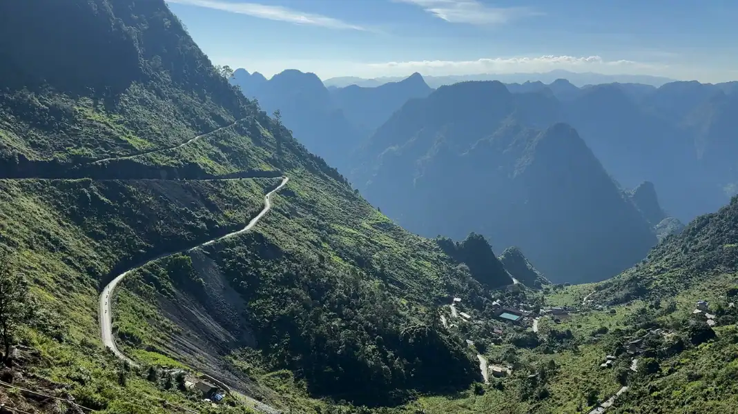
Designed for travelers with tighter schedules, this 18-kilometer express route incorporates motorcycle transfer support on Day 2 to reach the high ridge efficiently.
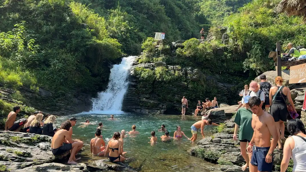
- Day 1 (10 km / +650m): Hike through valley rice terraces and visit Huou Waterfall before resting in Xa Phin village.
- Day 2 (8 km / +628m summit climb): Morning Easy Rider transfer to the 1,800-meter Forest Ranger basecamp, followed by a direct 3-hour hike through ancient tea groves to the 2,428-meter peak and same-day return to Ha Giang City.
| Route Option | Distance | Total Duration | Elevation Profile | Overnight Style | Difficulty Rating |
|---|---|---|---|---|---|
| 3-Day Classic Circuit | 32 km | 3 Days / 2 Nights | +2,050 m / -2,050 m | 1N Homestay + 1N Ridge Tent (1,900m) | Level 4 – Challenging |
| 2-Day Express Trek | 18 km | 2 Days / 1 Night | +1,278 m / -1,278 m | 1N Dao Stilt Homestay (950m) | Level 3 – Moderate-High |
| 1-Day Foothill Trek | 12 km | 1 Full Day | +650 m / -650 m | Return to TVPalm Ecolodge | Level 2 – Moderate |
Biodiversity zones and cultural heritage
The dramatic vertical gradient of Tay Con Linh creates distinct ecological layers and shelters centuries-old indigenous cultures.
| Altitude Band | Forest Ecosystem | Key Flora & Highlights | Physical Environment |
|---|---|---|---|
| 100 m – 900 m | Foothill Agricultural Valley | Terraced rice paddies, bamboo groves, palm hills | Warm, sunny (22°C – 28°C), cobblestone village paths |
| 900 m – 1,600 m | Subtropical Montane Forest | 300 to 500-year Shan Tuyet ancient tea trees | Cool mist, rich humus soil, cardamom understory |
| 1,600 m – 2,100 m | Primary Moss Cloud Forest | Giant Fujian cypress (Po Mu), epiphytic orchids, thick moss | High humidity (>85%), wet root staircases, 10°C – 18°C |
| 2,100 m – 2,428 m | Sub-Alpine Dwarf Bamboo Zone | Stunted bamboo corridors, wild rhododendrons | Exposed summit ridges, crisp air (2°C – 10°C), sea of clouds |
Centuries-old Shan Tuyet tea forests
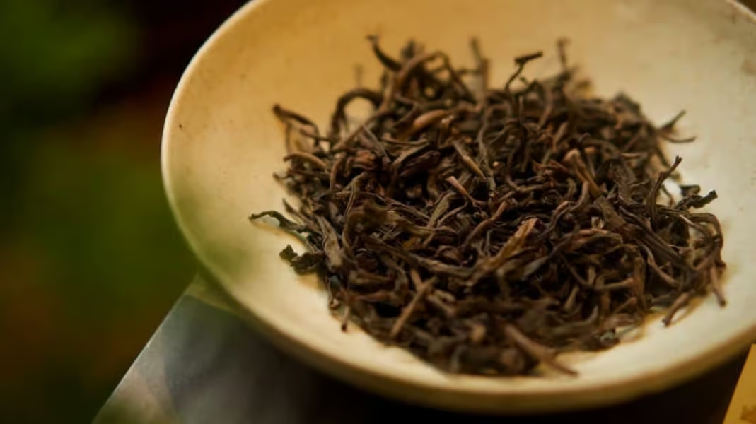
Between 1,200 and 1,800 meters, hikers walk through a living botanical sanctuary of giant wild Shan Tuyet tea trees (Camellia sinensis var. assamica). These gnarled trees grow up to 10 meters tall, with massive trunks coated in lichens and velvety white mold. Harvested by Dao elders to produce rare white tea and dragon-claw tea, they represent one of the purest organic tea terroirs on Earth.
Ancient Dao Ao Dai village culture
The Dao Ao Dai (Long-Tunic Dao) community in Xa Phin village lives in harmony with the mountain. Their stilt houses feature roofs blanketed in velvet-green moss up to 10 centimeters thick, a natural insulation developed over decades of mountain humidity.
Visitors experience genuine highland hospitality, savoring organic mountain meals and reviving tired leg muscles in medicinal herbal footbaths boiled over wood-burning hearths.
Weather, seasons, and cloud-hunting
Selecting the right season is crucial for trail safety, summit visibility, and scenic beauty.
| Season & Months | Daytime Temp | Night Temp | Trail Condition | Trekking Rating |
|---|---|---|---|---|
| Autumn (Sept – Nov) | 20°C to 26°C | 12°C to 16°C | Firm, dry, golden rice terraces | 5/5 – Peak Season |
| Winter (Dec – Feb) | 12°C to 18°C | 2°C to 8°C | Dry, crisp air, prime sea-of-clouds | 5/5 – Cloud Hunting |
| Spring (Mar – Apr) | 18°C to 24°C | 14°C to 18°C | Blooming rhododendrons, tea harvest | 4/5 – Floral Bloom |
| Summer (May – Aug) | 26°C to 32°C | 20°C to 24°C | Slippery red clay, leeches, heavy rain | 2/5 – Extreme Caution |
Essential gear and trail safety checklist
Trekking through untamed primary rainforest requires specialized equipment and strict adherence to frontier regulations.
- High-Traction Trekking Boots: Broken-in hiking boots with deep 5mm+ rubber lugs (Vibram or equivalent) to grip muddy slopes and slippery root ladders.
- Adjustable Trekking Poles: A pair of sturdy poles to distribute weight and protect knees during steep 1,400-meter descents.
- Technical Layering System: Breathable quick-dry base layers, an insulating fleece mid-layer, and a packable down jacket for sub-10°C nights at high camps.
- Waterproof Rain Shell: High-performance breathable rain jacket to protect against sudden mountain showers and persistent ridge mist.
- Headlamp with Spare Batteries: Essential for 05:30 AM sunrise summit climbs and camp navigation.
- Hydration System (2 Liters): Refillable reservoir bladder or insulated bottle to stay hydrated across sustained climbs.
- Ha Giang Border Entry Permit: Mandatory official permit (210,000 VND) arranged by TVPalm with provincial immigration authorities.
Frequently asked questions
Can I trek Tay Con Linh without a guide?
Solo trekking without a licensed local guide is strictly prohibited and dangerous. The primary cloud forest is dense with zero trail markings, rapidly shifting fog, and sensitive border regulations. Always hire an experienced indigenous Dao guide.
What is the physical fitness level required?
The 3-day trek requires good cardiovascular stamina and prior multi-day hiking experience. Trekkers should be comfortable walking 6 to 7 hours daily over steep, uneven terrain while carrying a daypack.
How do I travel from Hanoi to the trailhead?
Comfortable overnight sleeper buses and VIP limousines run daily from Hanoi (My Dinh or Old Quarter) directly to TVPalm Ecolodge in Ha Giang City, taking approximately 6 hours.
Written by Van Trung Nguyen, Lead Expedition Director & Licensed Tour Operator at TVPalm Adventure, Ha Giang. Providing safety compliance briefings and leading small-group eco-journeys across Northeast Vietnam since 2021.


