

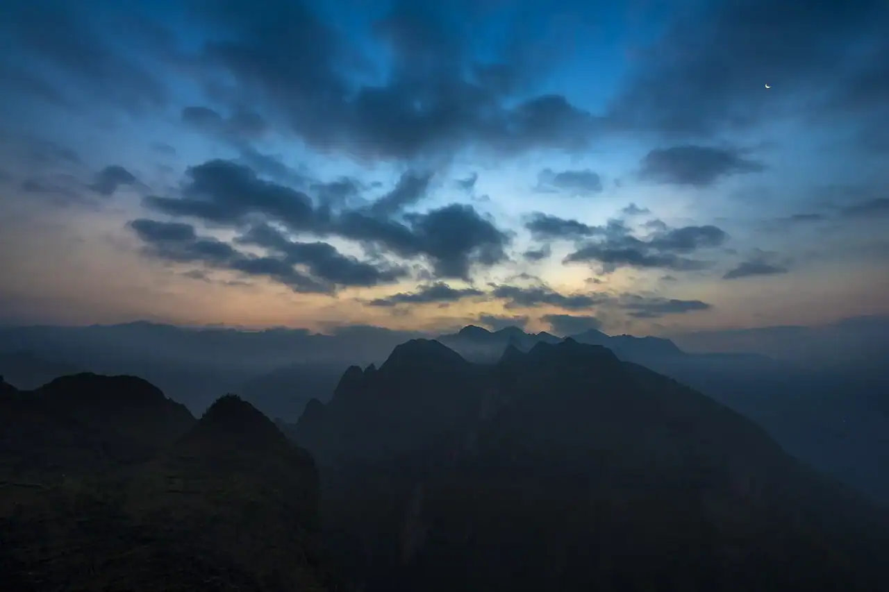
Ha Giang (part of Tuyen Quang province since July 2025) has a monsoon climate with a dry, cool season and a hot, wet one. In the mountains, height matters as much as the month.
Ha Giang city receives about 2,430 mm of rain a year, most of it in summer; July is the wettest month, with about 516 mm on average. The plateau around Dong Van and Meo Vac, at about 1,100 to 1,200 m, is several degrees colder than the city all year.
Two seasons
For travellers, Ha Giang has two main seasons. Road conditions, views and crowds all follow them.
- Dry season (about October to April): Less rain, drier roads and clearer air on the passes. This covers the busiest travel months and the coldest ones.
- Wet season (about May to September): Most of the year’s rain falls now, peaking in July. Landslides and slippery roads are the main risks.
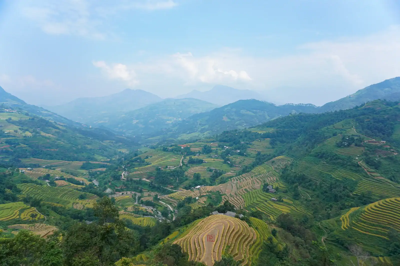
Height makes a big difference: Ha Giang city, at about 200 m, is the warmest point; the Quan Ba area at about 800 m is 4°C to 5°C cooler; Dong Van and Meo Vac are 6°C to 9°C cooler than the city.
Month by month
The table below gives a simple guide for the city and the plateau. Every year is different, so check the forecast before you go.
| Month | Ha Giang city | Dong Van plateau | For the Loop |
|---|---|---|---|
| January | Cold, dry | Cold nights, morning fog, frost possible | Good if dressed for the cold |
| February | Cool, mostly dry | Cold nights | Good; Tet closures in some years |
| March | Mild | Cool | Very good |
| April | Warm | Mild | Very good |
| May | Warm, showers return | Mild | Good in the mornings |
| June | Hot, wet | Warm, wet | Difficult |
| July | Hot, wettest month (about 516 mm) | Warm, wet | The most difficult |
| August | Hot, wet | Warm, wet | Difficult |
| September | Warm, rain easing | Mild | Good; golden rice |
| October | Mild, dry | Cool | Excellent; buckwheat begins |
| November | Mild, dry | Cool to cold | Excellent |
| December | Cool, dry | Cold | Good if dressed for the cold |
In our experience, the heaviest rain of July and early August is when roads are most often affected by landslides, especially on the mountain roads in the south of the Loop.
Season by season
Autumn (September to November)
Autumn is the favourite season for the Loop, and the busiest.
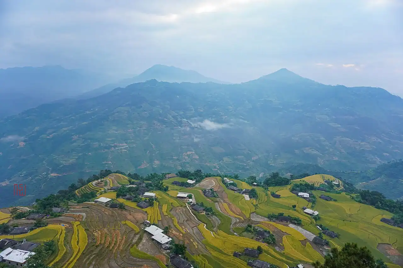
- September: In many valleys the rice turns gold before the harvest. Some rain is still possible, especially early in the month.
- October: Drier. Buckwheat flowers start to bloom on the Dong Van plateau. The busiest month on the Loop.
- November: Dry and cooler, with buckwheat flowers and quieter roads than October.
Spring (March to May)
Spring is the second great season, with mild temperatures.
- March: Mild days, often clear; good riding weather.
- April: Warm, green and usually still fairly dry; a lovely month on the plateau.
- May: Rain starts to return, often as afternoon showers. Mornings are usually the best time to ride.
Winter (December to February)
Winter is cold and quiet, and very beautiful if you dress for it.
- December: Cold, dry roads and few visitors. Nights on the plateau are cold.
- January: The coldest time. Morning fog is common, and in cold spells there can be frost on the plateau.
- February: Tet, the lunar new year, falls in late January or February. Markets get busy before Tet, and many businesses close for a few days during it.
Summer (June to August)
Summer is hot, very green and very wet. With an experienced easy rider and a flexible schedule it is possible, but expect delays.
- Landslides: Heavy rain can cause landslides, especially on the mountain roads between Meo Vac and Du Gia. Some sections may close for hours.
- Visibility: Cloud and rain often hide the views on the high passes, especially in the afternoon.
- The reward: Green terraces, full waterfalls at Du Gia and very few visitors.
For flower seasons and the best months to go, see our guide to when to visit Ha Giang.
What to pack, month by month
| Season | Must-Pack Items | Optional |
|---|---|---|
| Winter (Dec–Feb) | Thermal base layer, windproof jacket, insulated gloves, neck gaiter, balaclava | Hand warmers, boot insoles |
| Spring (Mar–May) | Light jacket, rain shell, sunscreen SPF 50+, riding gloves | Sun hat, electrolyte sachets |
| Monsoon (Jun–Sep) | Full rain suit (top + bottom), waterproof bag covers, waterproof boots | Change of shoes, backup dry bag |
| Autumn (Sep–Nov) | Light jacket for mornings, rain shell, layers for altitude | Camera lens cloth for mist |
For the route and distances, see our Ha Giang Loop map guide.
When to book
- January–February: Usually easy to book, except around Tet; plan early if your dates overlap with the holiday.
- March–May: Book a week or two ahead; weekends fill first.
- June–August: Easy to book. Ask what happens if the weather forces a change.
- September: Book a few weeks ahead; more people come every year for the rice.
- October: Book as early as you can; it is the busiest month.
- November–December: Usually a week or two ahead is enough.
Frequently asked questions
What is the hardest month to visit?
July, for road conditions. It is the wettest month in Ha Giang city, with about 516 mm of rain on average.
If July is your only option, travel with an experienced easy rider, keep your plans flexible and accept that the route may change.
How much colder is Dong Van than Ha Giang city?
Dong Van and Meo Vac, at about 1,100 to 1,200 m, are usually 6°C to 9°C cooler than Ha Giang city, at about 200 m.
On a motorbike, the wind makes it feel colder still. Bring a windproof layer even if the city feels warm.
Can I plan a fixed itinerary?
In the dry season, the weather is usually stable enough for a fixed plan, though morning fog can delay starts in winter.
In the wet season, afternoon storms are common and unpredictable. We plan wet-season trips with extra time and may change the route because of the weather. For more, see our Ha Giang Loop weather guide.
Written by Nguyễn Văn Trung, founder of TVPalm. Welcoming travellers on the Ha Giang Loop since 2021.


