

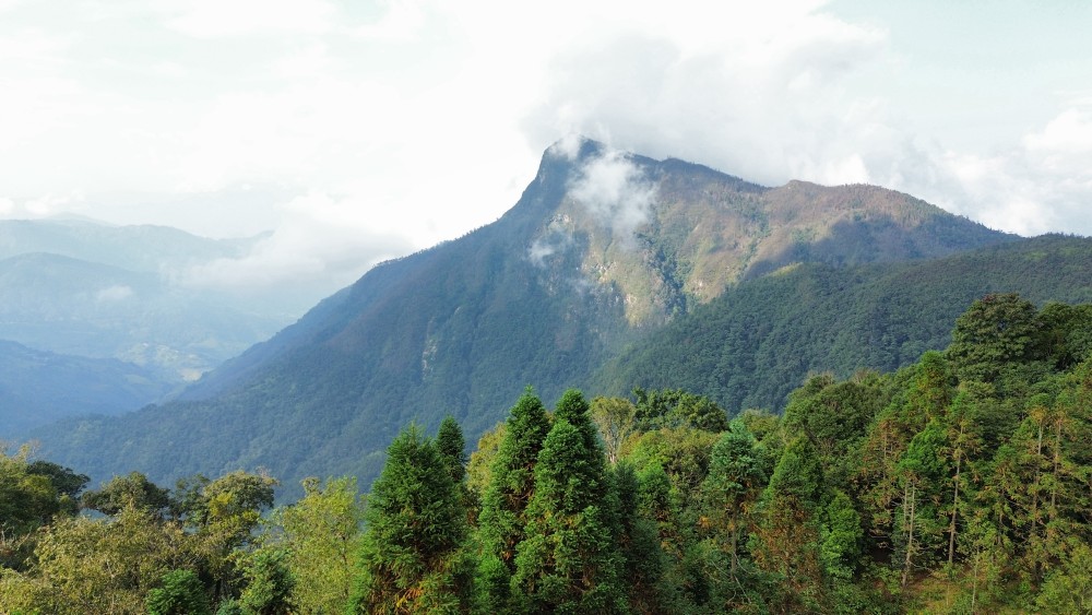
Tay Con Linh is the mountain range that rises west of Ha Giang city, in Ha Giang (part of Tuyen Quang province since July 2025), about 300 km north of Hanoi. Its highest peak, at 2,428 m, is the highest in Northeast Vietnam.
This guide explains where the mountain is, how to get there, which villages lie on its slopes and what you need to know before you go.
Where Tay Con Linh is
Tay Con Linh rises behind Ha Giang city, between the Lo River valley and the terraced valleys of Hoang Su Phi to the west. From the city, you can see its ridges on a clear day.
| Tay Con Linh at a glance | |
|---|---|
| Highest peak | 2,428 m, the highest in Northeast Vietnam |
| Where | West of Ha Giang city; former Vi Xuyen and Hoang Su Phi districts |
| Protection | Tay Con Linh Nature Reserve, more than 15,000 ha |
| Distance from Hanoi | About 300 km to Ha Giang city |
The Tay Con Linh Nature Reserve
The mountain is protected by the Tay Con Linh Nature Reserve, which covers more than 15,000 hectares across ten communes of the former Vi Xuyen and Hoang Su Phi districts and the former Ha Giang city, including the former communes of Phuong Do, Phuong Tien, Thanh Thuy, Cao Bo, Lao Chai and Tung San.
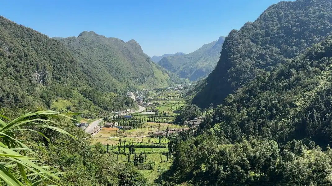
Height and landscape
At 2,428 m, Tay Con Linh is often called the “roof of the Northeast”. It is lower than Fansipan in the northwest, but wilder: there is no road or cable car to the top, only forest paths.
Tay Con Linh is not a resort. It is a protected mountain, with some of the wildest forest left in the north, old tea trees and villages that still live from the land.
How to get there
Getting to the foot of Tay Con Linh is easy: the mountain starts just outside Ha Giang city.
| From | How | Good to know |
|---|---|---|
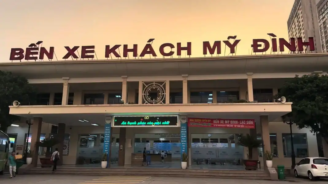
| Hanoi | Night sleeper bus or day limousine van to Ha Giang city | About 6 hours, about 300 km |
| Ha Giang city | Taxi to TVPalm Ecolodge | About 10 km; we are happy to call one for you |
From Hanoi to Ha Giang city
- Night sleeper bus: Leaves Hanoi in the evening and arrives in Ha Giang city early in the morning.
- Day limousine van: Smaller vans run during the day; a calmer trip with views of the countryside.
- Arriving early: If you arrive on a night bus, tell us in advance and we will help you plan your first morning at TVPalm Ecolodge.
From the city to the trailheads
- The eastern side (Khuoi My, Lung Vai and Na Thac): About 10 km from the city centre. This is where TVPalm Ecolodge is, and where our treks start.
- The western side (Hoang Su Phi): The mountain can also be approached from the Hoang Su Phi side, for travellers combining it with the rice terraces.
Villages and landmarks around the mountain
The slopes of Tay Con Linh are home to Tay and Dao communities whose lives are closely tied to the mountain.
| Village | People | Where |
|---|---|---|
| Thon Tha | Tay | At the foot of the mountain, near Ha Giang city |
| Khuoi My, Lung Vai, Na Thac | Dao Ao Dai | Eastern slopes of Tay Con Linh |
| Na Mau, Xa Phin, Mao Phin, Nam Te | Dao Ao Dai | North-western side of Tay Con Linh, in Thanh Thuy commune; Xa Phin is about 22 km from the city, with mossy palm-leaf roofs |
Tay villages at the foot, Dao Ao Dai villages above
At the foot of the mountain, near the city, the villages are mostly Tay, such as Thon Tha with its stilt houses and rice fields. Higher up, on the eastern slopes, are the Dao Ao Dai villages of Khuoi My, Lung Vai and Na Thac. Further round, on the north-western side of the mountain, in Thanh Thuy commune, are the Dao Ao Dai villages of Na Mau, Xa Phin, Mao Phin and Nam Te.
Xa Phin and its mossy roofs
Xa Phin, in Thanh Thuy commune, about 22 km from Ha Giang city, is known for its old palm-leaf roofs covered in moss and for its Shan Tuyet tea. On our 3-day trek, trekkers spend a night in a homestay there.

Practical tips and the border permit
Visiting Tay Con Linh needs some planning, because it is a protected area close to the border.
- Border area permit: Foreigners need a border area permit for this area. TVPalm arranges it for guests on our treks.
- Go with a guide: Paths in the forest are unmarked and the weather changes fast. Walk with a TVPalm trek leader and local Dao porters, who know the mountain.
- Shoes with good grip: Wet clay and roots are slippery; bring broken-in trekking boots.
- Layers: It can be warm at the foot and cold at the top, especially in winter. Bring a warm layer and a rain jacket.
- Water: Carry enough water for a long, steep day.
Frequently asked questions
Can I visit Tay Con Linh on the Ha Giang Loop?
Yes. You can add a Tay Con Linh trek before or after your Loop, starting from TVPalm Ecolodge. See our 3-day Tay Con Linh trek.
Is Tay Con Linh a national park?
No, it is protected as the Tay Con Linh Nature Reserve. Vietnam’s biodiversity agency records about 796 plant species and 213 animal species there, many of them rare, and BirdLife International lists Tay Con Linh as an Important Bird Area.
How far is the mountain from the Chinese border?
The northern side of the range is not far from the border near Thanh Thuy. That is why a border area permit is needed for foreigners.
Written by Nguyễn Văn Trung, founder of TVPalm. He has led small-group trips across Northeast Vietnam since 2021.


