

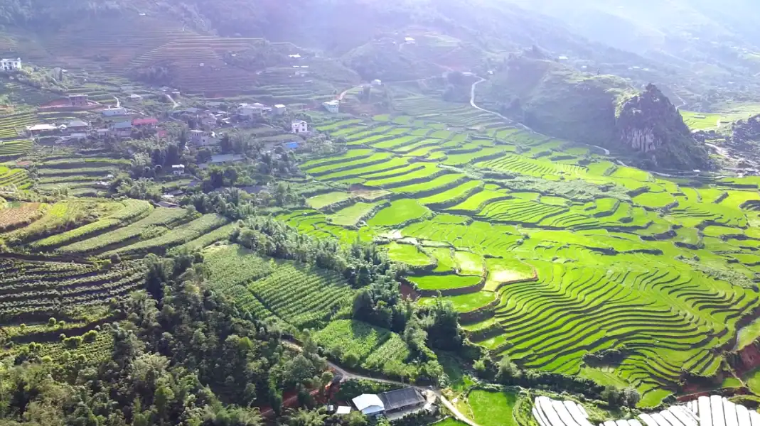
Weather decides a lot on the Ha Giang Loop: how much you see, how the roads feel, and what you need to wear.
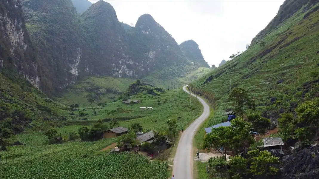
The loop climbs from river valleys at about 100 m to karst plateaus above 1,200 m. Temperatures change quickly with height, fog can come down in minutes, and rain follows the seasons.
September to November and March to May are usually the best months: dry roads, clear views and 18°C to 26°C by day. This guide goes through the year month by month, explains how height changes the weather, and lists what to pack.
When is the best time for the Ha Giang Loop?
The year in Ha Giang falls into three seasons, each with its own roads and landscapes.
- Dry asphalt & clear mountain visibility
- Mild temperatures: 18°C to 26°C
- Golden rice harvest (Sep-Oct) & spring blooms (Mar-Apr)
- Optimal for Easy Rider tours
- Cold pass temperatures: 5°C to 14°C
- Thick freezing fog on Quan Ba & Ma Pi Leng
- Low rain, but damp slick asphalt on bends
- Requires heavy thermal layers & slow speeds
- High heat (28°C-34°C) & heavy downpours
- Landslide risk on DT177 & DT176 dirt tracks
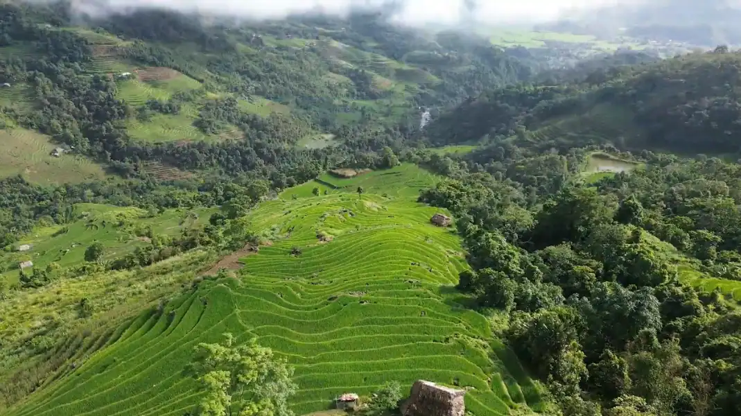
- Lush green mountain terraces & full waterfalls
- Easy Rider or 4WD car strongly recommended
If it is your first time, see our Ha Giang Loop guide for first-time travellers as well.
Our advice: on Ma Pi Leng, the weather can change in 15 minutes. You can leave Yen Minh under blue sky and be in thick fog an hour later. Your guide checks the forecast every morning and adjusts the day.
The Ha Giang Loop month by month
| Month | Temp. Range (Plateau) | Avg. Rainfall | Road Conditions | Visibility | Highlight Scenery | Recommendation |
|---|---|---|---|---|---|---|
| January | 6°C – 14°C | 25 mm (Low) | Cold, damp, slick bends | Low to Moderate (Fog) | Peach blossoms, mist valleys | Good with warm gear |
| February | 8°C – 16°C | 30 mm (Low) | Cool, dry roads | Moderate | Spring blossoms, Tet festival | Good |
| March | 14°C – 22°C | 45 mm (Moderate) | Dry, clear asphalt | Excellent | Plum & mustard blossoms | Excellent |
| April | 18°C – 26°C | 60 mm (Moderate) | Dry, ideal traction | Excellent | Green fields, comfortable weather | Best Overall |
| May | 22°C – 30°C | 150 mm (High) | Warm, occasional storms | Good | Water-pouring season (terraces) | Good |
| June | 24°C – 32°C | 280 mm (Monsoon) | Heavy rain, mud on side tracks | Moderate | Vibrant green rice, full rivers | Caution (Landslide risk) |
| July | 24°C – 33°C | 310 mm (Monsoon) | Peak rainfall, landslide risk | Moderate | Lush waterfalls, full rivers | Extreme caution |
| August | 23°C – 31°C | 260 mm (Monsoon) | Tropical rain, river overflow | Moderate to Good | Ripening rice fields | Exercise caution |
| September | 20°C – 28°C | 120 mm (Moderate) | Drying roads, clear skies | Excellent | Golden rice harvest | Best Overall |
| October | 16°C – 24°C | 60 mm (Low) | Dry, crisp air | Excellent | Golden terraces & buckwheat | Best Overall |
| November | 12°C – 20°C | 35 mm (Low) | Dry, cool mountain air | Excellent | Buckwheat flower festival | Excellent |
| December | 8°C – 15°C | 25 mm (Low) | Cold, dry, foggy passes | Low to Moderate | Winter mist, mountain frost | Good with thermals |
Height and local climate
A common mistake is to think the weather in Ha Giang City is the weather for the whole loop.
- Ha Giang City (about 200 m): the warmest point. 32°C to 35°C in summer, 15°C to 18°C in winter.
- Tam Son / Quan Ba (about 800 m): 4°C to 5°C cooler than the city. Morning fog is common around Heaven Gate.
- Dong Van and Meo Vac (1,100 to 1,200 m): 6°C to 9°C cooler than the city. Winter nights often fall below 5°C, with occasional frost on the peaks.
For the route itself, see our Ha Giang Loop route guide.
What to pack, season by season
The right clothes make the loop safer and much more comfortable, whatever the month.
Dry season (September to April)
- Thermal base layers: long-sleeved tops and leggings for cold mornings and the high passes.
- Windproof jacket: a lined windproof jacket for the cold air on the descents.
- Gloves: warm full-finger gloves in winter (December to February), lighter gloves in spring and autumn.
- Closed shoes: ankle boots or sturdy trainers, against the cold wind and rough limestone.
- Sun and dust: UV sunglasses, a neck buff and SPF 50 sunscreen.
Monsoon season (May to August)
- Rain suit: a proper two-piece waterproof jacket and trousers (ponchos tear in the wind). TVPalm also gives you one.
- Dry bags: 20 to 30 L, for clothes, electronics and passport.
- Shoe covers: rubber covers to keep your shoes dry in heavy rain.
- Clear visor: a clear helmet visor, treated with anti-fog spray.
Frequently asked questions
What is the best single month for the Ha Giang Loop?
Many people say October: dry, clear weather, 16°C to 24°C, golden rice terraces and the first buckwheat flowers. April is a close second, with clear spring weather and blossom.
Is the loop safe in the monsoon (June to August)?
The risk is higher. Heavy rain makes some roads, such as DT176 (Mau Due to Du Gia), muddy and raises the risk of landslides. From June to August, travel with an experienced easy rider or by 4×4 with a driver, and accept that the plan may change with the weather.
How cold does it get in winter?
From December to February, Ha Giang City is around 15°C by day, but Dong Van (1,100 m) can be 5°C to 10°C, and nights in mountain homestays can drop below 3°C, with occasional frost on Ma Pi Leng. The wind on a motorbike makes it feel colder still, so bring warm layers.
Written by Nguyễn Văn Trung, founder of TVPalm. He has led small-group trips across Northeast Vietnam since 2021.


