

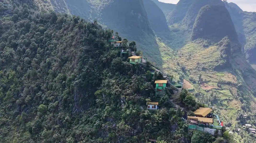
Tay Con Linh (2,428 m) in Ha Giang (part of Tuyen Quang province since July 2025) and Ky Quan San (3,046 m, also called Bach Moc Luong Tu) on the border of Lao Cai and Lai Chau are two of the best treks in northern Vietnam. They test you in very different ways.
Tay Con Linh is our home mountain; we do not run treks on Ky Quan San. This guide compares the two honestly, so you can choose the one that suits you.
The two mountains at a glance
Height and landscape
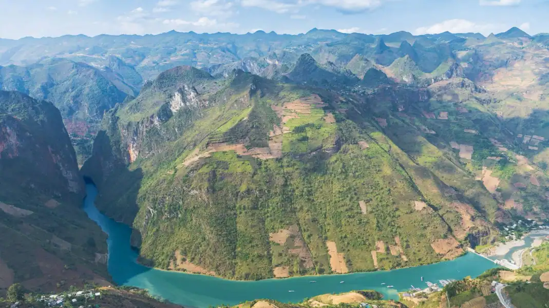
Ky Quan San, at 3,046 m, is one of the highest peaks in Vietnam. It is higher, colder and more open, with rocky ridges above the forest. Tay Con Linh, at 2,428 m, is the highest peak in Northeast Vietnam, and much of the climb is inside primary forest.
Distance and time
Ky Quan San is usually trekked over two or three days from the Bat Xat area of Lao Cai. On our 3-day Tay Con Linh trek, you walk about 12.5 km through the Dao Ao Dai villages on day 2, and about 14.5 km on summit day, with about 600 m of climbing from the ranger hut.
| Tay Con Linh | Ky Quan San | |
|---|---|---|
| Height | 2,428 m, highest in Northeast Vietnam | 3,046 m |
| Where | Ha Giang, west of Ha Giang city | Border of Lao Cai and Lai Chau |
| Landscape | Primary forest, old tea trees, Dao Ao Dai villages | Open rocky ridges above the forest |
| Nights | TVPalm Ecolodge, then a homestay in Xa Phin | Usually simple mountain huts |
People often assume the higher mountain is the harder one. In truth, they test different things: Ky Quan San tests your lungs and your head for heights on open ridges; Tay Con Linh tests your footwork and patience in wet forest.
Terrain and what each trail asks of you
Tay Con Linh: forest, roots and mud
Tay Con Linh is a forest mountain. You walk under tall trees hung with moss and lichen, with orchids, ferns and bamboo around you.
- Roots and wet ground: Tree roots cross the path; they help on the way up but are slippery when wet.
- Bamboo near the top: Near the summit, the path passes through dense bamboo.
- Damp air: The forest is often in cloud and very humid. Quick-dry clothes and a rain jacket matter.
Ky Quan San: ridges, rock and wind
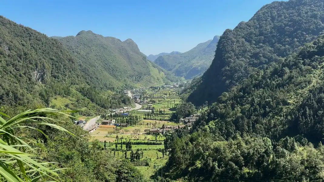
Ky Quan San changes from farmland and forest lower down to open, rocky ridges near the top.
- Long climbs: Steep, sustained climbs early in the trek test your fitness.
- Exposed ridges: Higher up, narrow ridges with drops on both sides need care, especially in wind or rain.
- Rock near the summit: The final section involves rocky ground; follow your guide closely.
| What it tests | Tay Con Linh | Ky Quan San |
|---|---|---|
| Fitness | Steady climbing in forest | Long, steep climbs at higher altitude |
| Footwork | Wet roots, mud and slippery stones | Rock and narrow ridges |
| Exposure | Little; mostly inside forest | More; open ridges with drops |
| Weather | Humid, often in cloud | Windy and colder near the top |
Accommodation and logistics
Huts or homestays
- Ky Quan San: Treks usually sleep in simple mountain huts. Ask your operator what is provided.
- Tay Con Linh: There are no huts to sleep in. On our trek, the first night is at TVPalm Ecolodge and the second in a homestay in the Dao Ao Dai village of Xa Phin. The forest ranger hut at 1,800 m is a short stop only.
Permits and guides
- Border area permit: Tay Con Linh is in a border area, so foreigners need a permit. TVPalm arranges it for our trekkers.
- Guides: On Tay Con Linh, walk with a TVPalm trek leader and local Dao porters. The forest paths are unmarked. On Ky Quan San, go with a licensed local operator.
Weather and seasons
For both mountains, the cooler, drier months from October to April are best. In the rainy season, trails are slippery and views are often hidden by cloud.
| Season | What to expect on both mountains |
|---|---|
| October to April | Cooler, drier, the best trekking season; cold at the top in winter |
| May to September | Rainy season: slippery trails, leeches in the forest, views often hidden |
Which mountain should you choose?
It depends on what you want: open views and altitude, or deep forest and village life.
Choose Ky Quan San for big views
If you love open ridges, high altitude and wide views over seas of cloud, and you are fit and comfortable with exposure, Ky Quan San is a superb choice.
Choose Tay Con Linh for forest and villages
If you want quiet forest, old Shan Tuyet tea trees and a night in a Dao Ao Dai village, Tay Con Linh is for you. Read our 3-day Tay Con Linh trek and where Tay Con Linh is.
What to bring
- Boots with good grip: Broken-in boots with deep soles for wet roots and rock.
- Trekking poles: To save your knees on steep descents.
- Layers: A quick-dry base layer, a fleece and a warm jacket for cold summit mornings.
- Rain jacket: For wind and sudden showers.
- Headlamp: With spare batteries, for early starts.
- Water: Enough for long, steep days.
Frequently asked questions
Can a beginner do these treks?
Neither is a good first trek for someone with no hiking experience. An active, regularly fit person can manage either with preparation. Train on hills or stairs for several weeks before you go.
Which is better for seas of cloud?
Both can have cloud seas in the cooler months. Ky Quan San’s open ridges give wider views; on Tay Con Linh, the views open up at the top, after the forest.
How do I get to the start from Hanoi?
For Tay Con Linh, take a sleeper bus or limousine van from Hanoi to Ha Giang city (about 6 hours), then a taxi to TVPalm Ecolodge, about 10 km away. For Ky Quan San, travel from Hanoi to Lao Cai or Sapa, then on to Bat Xat with your operator.
Written by Nguyễn Văn Trung, founder of TVPalm. He has led small-group trips across Northeast Vietnam since 2021.


