

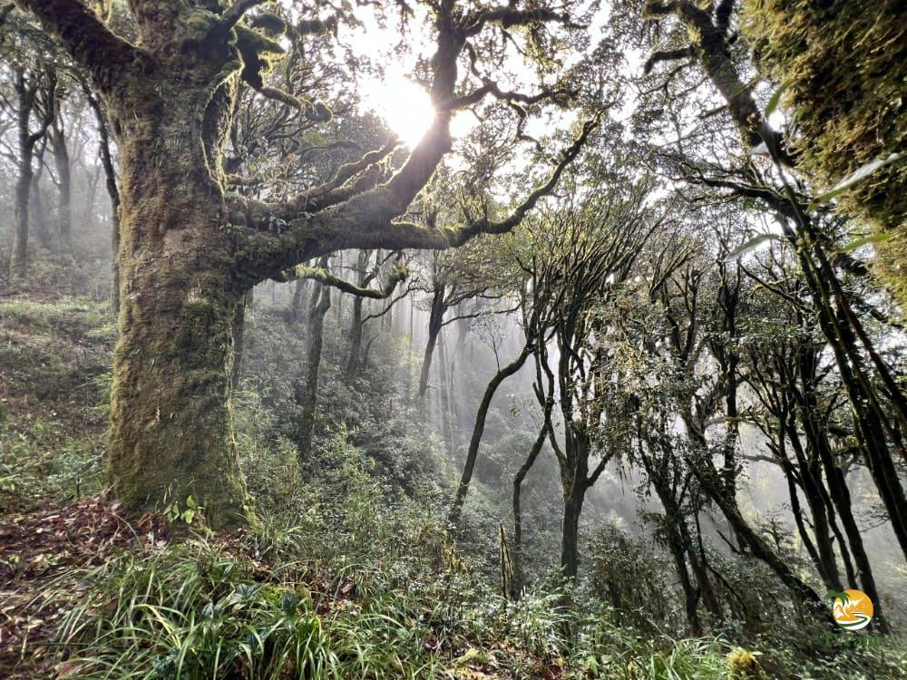
Ha Giang (part of Tuyen Quang province since July 2025) has two kinds of mountains: the granite massif of Tay Con Linh in the west, and the limestone karst of the Dong Van plateau in the north. Together they hold some of the highest peaks and viewpoints in Northern Vietnam.
They range from Tay Con Linh at 2,428 m, the highest peak in Northeast Vietnam, and Chieu Lau Thi at 2,402 m, to the limestone cliffs of Ma Pi Leng. This guide covers eight of them, with the climb, the season and what each one is like.
How Ha Giang’s mountains are made
Granite in the west, limestone in the north
Ha Giang’s mountains fall into two zones:
- The western granite range (Tay Con Linh massif): in Vi Xuyen and Hoang Su Phi, granite mountains with the highest peaks east of the Red River. The slopes have deep soil, old Shan Tuyet tea forest and primary forest.
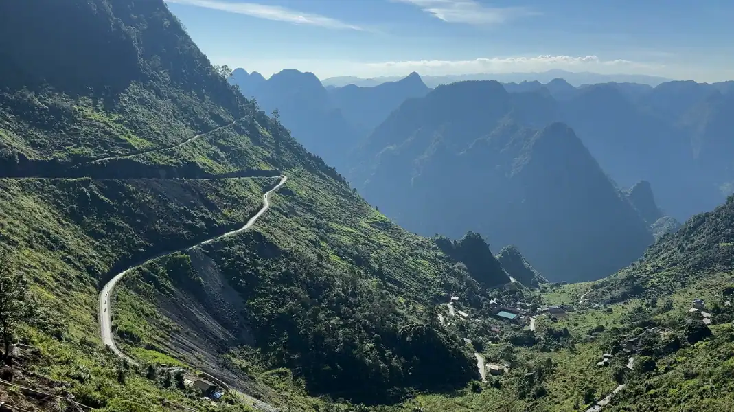
- The northern karst plateau (Dong Van Geopark): vertical limestone canyons, sharp pinnacles and dry cliffs at around 1,400 to 1,600 m.
Why the clouds sit below the peaks
From October to April, cold air settles in the river valleys while the sun warms the ridges. This inversion (san may) often leaves the peaks above 1,500 m standing out of a sea of white cloud.
The people of the mountains
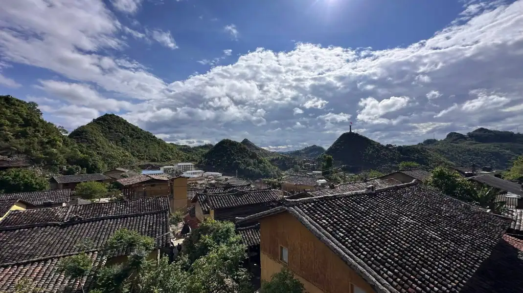
These mountains are home to the Dao, Hmong and Tay. The Dao Ao Dai tend old tea trees on the slopes of Tay Con Linh, the Hmong farm corn behind stone walls on the karst ridges, and the Tay live in stilt villages along the valley rivers.
Eight mountains and high viewpoints in Ha Giang
1. Tay Con Linh
- Height: 2,428 m | District: Vi Xuyen and Hoang Su Phi.
- The climb: about 27 km over 2 walking days, about 600 m of climbing on summit day. Hard (3 days, 2 nights).
- What it is like: the highest peak in Northeast Vietnam. Narrow trails through old Shan Tuyet tea forest, moss-roofed houses in Xa Phin, and a granite summit with views towards the Chinese border.
2. Chieu Lau Thi
- Height: 2,402 m | District: Hoang Su Phi.
- The climb: about 16 km, around +1,100 m. Moderate to hard (often 2 days, 1 night).
- What it is like: one of Ha Giang’s highest peaks, known for sunrise above the clouds, with a ridge trail through old rhododendron forest.
3. The upper ridge of Tay Con Linh
- Height: around 2,200 m | District: Vi Xuyen.
- The walk: the high ridge between the forest above Xa Phin and the summit.
- What it is like: cloud forest with giant tree ferns and thick green moss.
4. The border ridges around Sam Pun
- Height: around 1,950 m | District: Meo Vac.
- The walk: remote paths close to the border, only with a local guide and the right permit.
- What it is like: wide views over deep gorges towards southern China.
5. Ma Pi Leng ridge
- Height: around 1,500 m | District: Dong Van and Meo Vac.
- The walk: the White Cliff path, about 3 km cut into the limestone above the road.
- What it is like: a drop of 700 to 800 m into Tu San Canyon and the green Nho Que River.
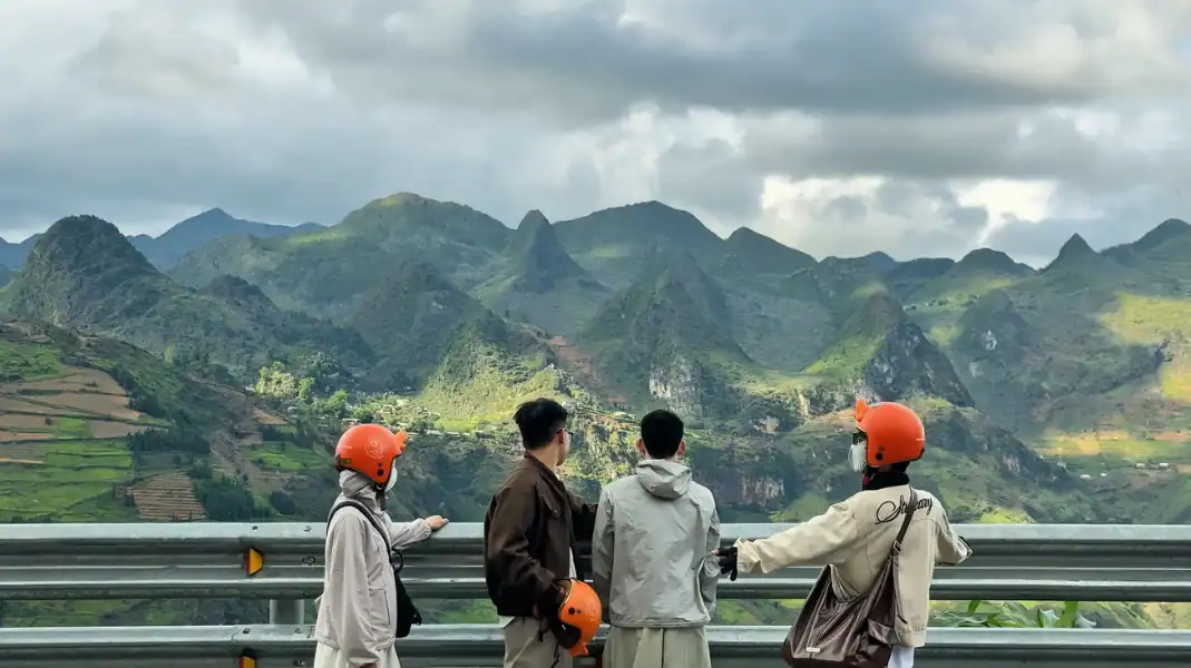
6. Quan Ba Heaven Gate
- Height: around 1,500 m | District: Quan Ba.
- The walk: a viewing terrace just off Highway 4C, a few minutes on foot.
- What it is like: morning clouds over Tam Son Valley and the Twin Mountains.
7. Dragon Mountain (Nui Rong)
- Height: around 1,470 m | District: Dong Van.
- The walk: several hundred stone steps from Lo Lo Chai village up to the tower.
- What it is like: Lung Cu Flag Tower and its 54 m² flag, close to Vietnam’s northernmost point.
8. Don Cao and the French fort
- Height: around 1,200 m | District: Dong Van.
- The walk: about 20 minutes up from Dong Van old town.
- What it is like: an old French stone fort with sunset views over the Dong Van valley.
The peaks side by side
| Mountain Summit | Elevation (Meters / Feet) | Geological Formation | Trek Difficulty | Optimal Trekking Window |
|---|---|---|---|---|
| Mount Tay Con Linh | 2,428 m (7,963 ft) | Granite Massif | Challenging (3 Days) | October – April |
| Mount Chieu Lau Thi | 2,402 m (7,881 ft) | Granite & Gneiss | Moderate-Hard (2 Days) | September – May |
| Ma Pi Leng Skywalk | 1,500 m (4,921 ft) | Limestone Karst | Moderate (1 Day) | Year-round (Dry days) |
| Quan Ba Heaven Gate | 1,500 m (4,921 ft) | Limestone Karst | Easy (Roadside Walk) | Year-round |
| Dragon Mountain (Lung Cu) | 1,470 m (4,822 ft) | Limestone Karst | Easy (Stone Steps) | Year-round |
Planning: season, permits and fitness
When to go
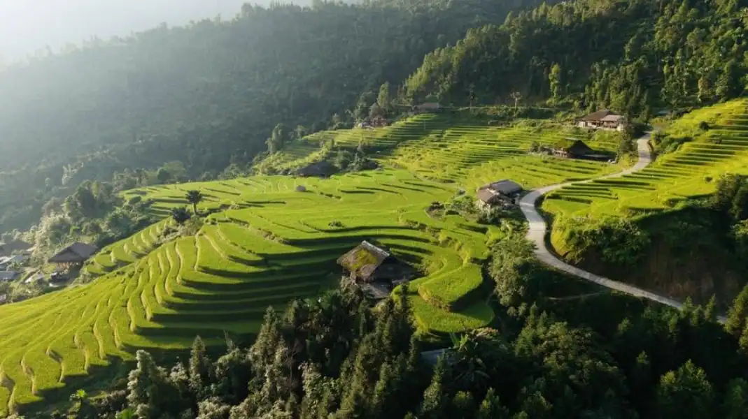
October to April is the dry season: firm ground, clear views and the most cloud inversions. In autumn (September to November), the treks come with golden rice terraces in Hoang Su Phi and buckwheat flowers around Dong Van.
The border permit
Foreigners walking in the border districts need a Border Area Entry Permit (260,000 VND, about $10 per guest). TVPalm arranges it for you.
Gear for steep ground
For the granite trails, bring boots with deep lugs, trekking poles, quick-dry layers and dry bags.
Mountains in Ha Giang: common questions
What is the highest mountain in Ha Giang?
Tay Con Linh, at 2,428 m. It is also the highest peak in Northeast Vietnam.
Tay Con Linh or Chieu Lau Thi: which is better for trekking?
Tay Con Linh is the longer trip, through old Shan Tuyet tea forest and Dao Ao Dai villages (3 days). Chieu Lau Thi is shorter, often done in 2 days, and known for sunrise above the clouds.
Can beginners hike Ha Giang’s high peaks?
If you are reasonably fit, Chieu Lau Thi or the White Cliff path at Ma Pi Leng are good starts. The 3-day Tay Con Linh trek needs good stamina.
Written by Nguyễn Văn Trung, founder of TVPalm. He has led small-group trips across Northeast Vietnam since 2021.


