

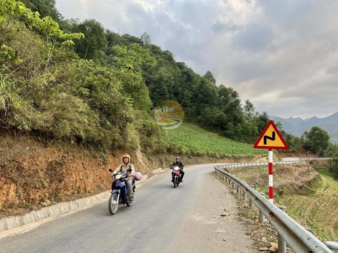
Going overland from Ha Giang to Cao Bang takes you across Northeast Vietnam’s rugged mountains, from Dong Van’s limestone karst to Cao Bang’s lush valleys. Linking two UNESCO Global Geoparks, this cross-provincial route spans 210 to 260 kilometers of mountain terrain.
Whether travelling by bus, private car, or as a pillion passenger with an Easy Rider, an overnight stay in Bao Lac on the Gam River ensures a safe and rewarding journey.
How to travel from Ha Giang to Cao Bang
The most practical ways to travel between Ha Giang and Cao Bang are by private car with driver or on a guided pillion tour with a licensed local Easy Rider. Scheduled local minibuses also operate daily.
Connecting the Dong Van Karst Plateau in Ha Giang province with Non Nuoc Cao Bang, this quiet mountain route offers sweeping vistas and authentic cultural encounters with Tay, Nung, and Lo Lo communities.
Route options
| Route Option | Distance & Time | Road Character | Highlights | Recommended For |
|---|---|---|---|---|
| 1. Via Meo Vac & Bao Lac | 240–260 km (2 days) | Steep mountain passes | Ma Pi Leng, Khau Coc Cha | Motorbike pillion, Loop riders |
| 2. Highway 34 via Bac Me | 210–230 km (6–8 hrs) | Valley road, gravel | Gam River, Bac Me | Private car, direct transit |
| 3. Lowland via Ba Be Lake | 310–330 km (2–3 days) | Paved highways | Ba Be Lake boat cruise | Relaxed pacing, nature lovers |
Route 1: Through Meo Vac and Bao Lac (the scenic mountain way)
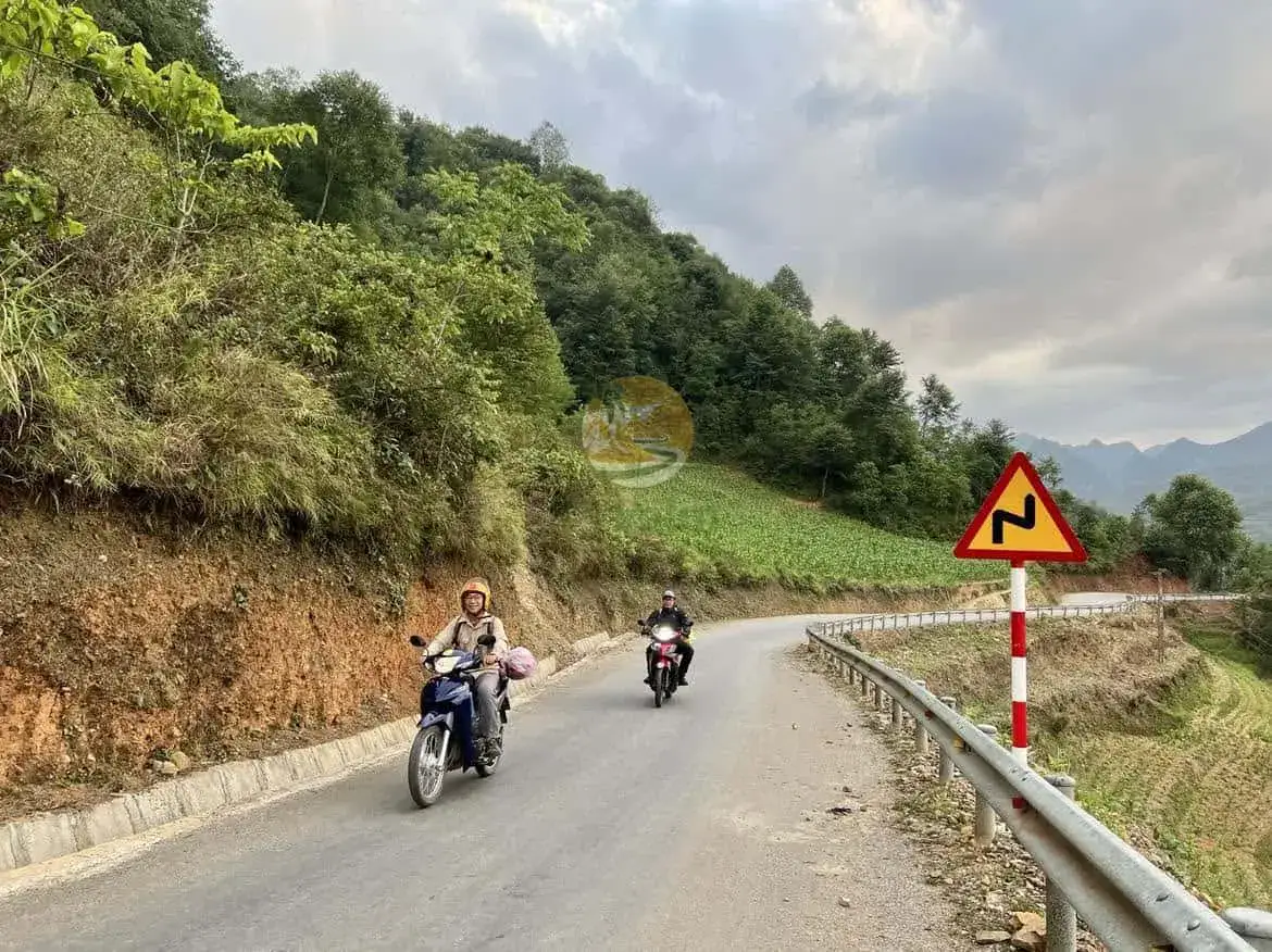
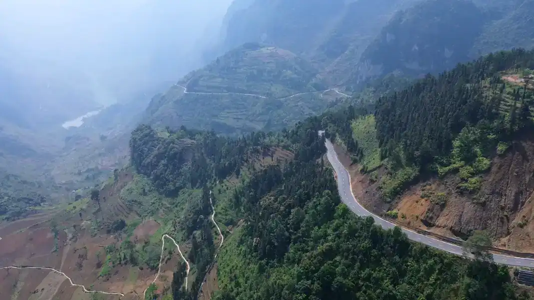
Route 1 is the natural continuation for travellers completing the Ha Giang Loop. Entering Cao Bang province via Highway 4C toward Bao Lac, the road winds along limestone cliffs and includes Khau Coc Cha Pass, famed for its fourteen stacked switchbacks. Travellers typically break their journey in Bao Lac town on the Gam River before continuing to Cao Bang City.
Route 2: The direct road via Highway 34 and Bac Me
If you bypass the northern karst loop, National Highway 34 (QL34) provides the most direct link. Following the Gam River through Bac Me and Bao Lam, this 210-to-230-kilometer route is shorter than the high pass option. Vehicles average 35 to 40 km/h due to winding river gorges and rural road traffic.
Transport modes bus, easy rider or private car
By local bus or public minivan
Local minibuses run daily between Ha Giang and Cao Bang, costing 200,000 to 280,000 VND ($8 to $11 USD). Frequent passenger and cargo stops along Highway 34 make the trip take 7 to 9 hours. Morning departures leave between 6:00 AM and 7:30 AM; verify departure times with your guesthouse the day before.
| Transport Mode | Schedule | Cost (USD) | Key Advantages | Drawbacks |
|---|---|---|---|---|
| Local Minibus | Morning (6:00–7:30 AM) | $8–$11 | Lowest cost, local immersion | Slow (7–9 hrs), crowded |
| Pillion Easy Rider | Custom departures | $55–$75 / day | 360° views, custom stops, safe driver | Weather exposure |
| Private SUV / Car | Custom door-to-door | $90–$130 / day | Climate comfort, luggage security | Higher cost for solo travellers |
With a professional easy rider
Riding pillion behind a licensed local Easy Rider is the premier way to experience Northeast Vietnam without the stress of navigating technical mountain passes. TVPalm does not rent motorbikes and does not offer self-drive tours. An experienced Easy Rider handles steep switchbacks and blind corners, letting you fully absorb panoramic views.
All travellers are equipped with certified protective helmets, protective padding, and heavy-duty rain gear. On longer overland tours, we often combine motorbike riding on scenic mountain sections with private car transfers for extended lowland connections.
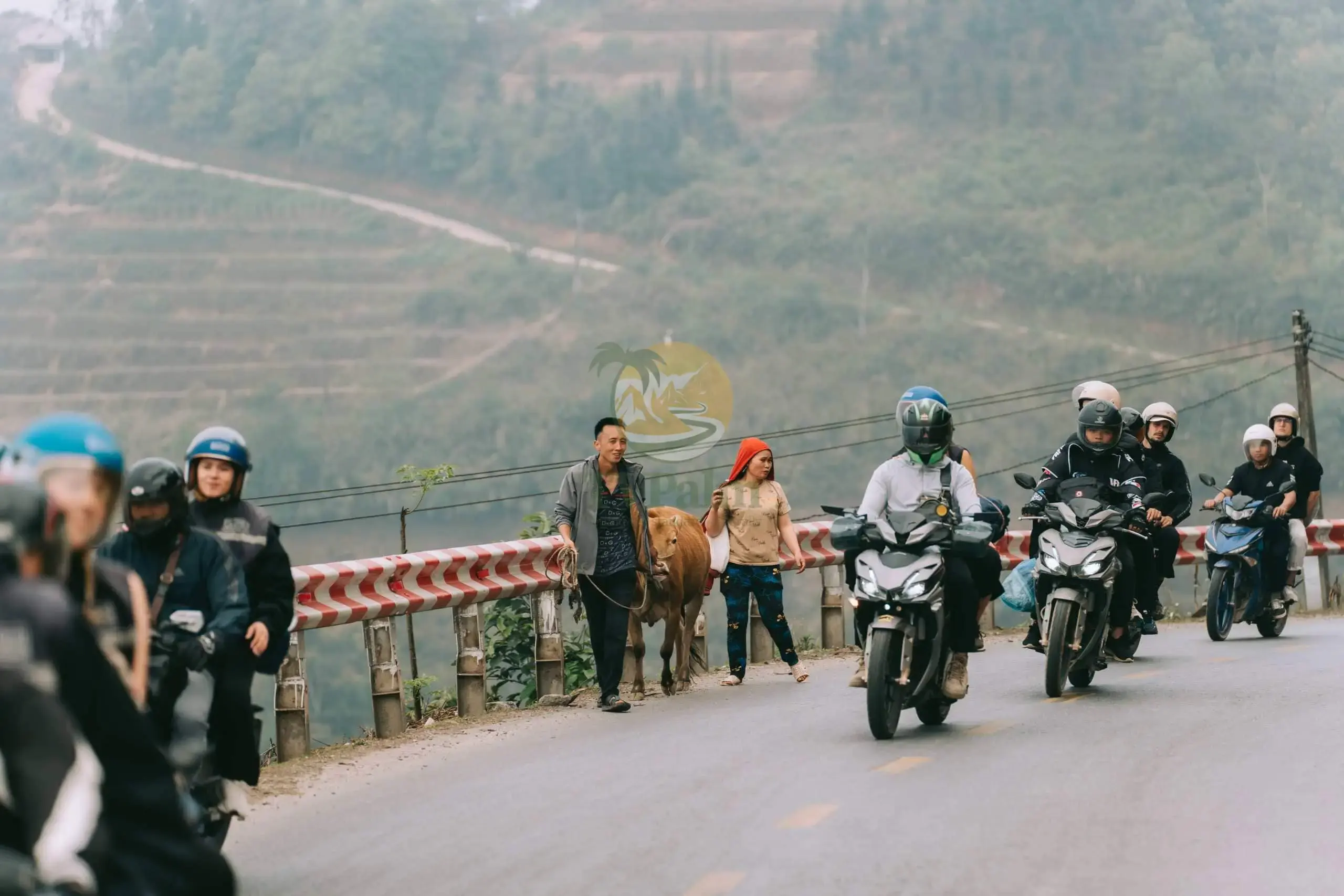
“The mountains between Meo Vac and Cao Bang are among the wildest in Vietnam. Travelling pillion with an experienced local rider lets you enjoy the canyons while someone who knows every bend handles the road.”
Nguyễn Văn Trung, Founder, TVPalm
By private car or four-wheel-drive vehicle
For couples, families, or photographers carrying sensitive camera gear, travelling by private SUV with a professional driver provides comfort, flexible photo stops, and climate control regardless of mountain dust or rain.
Major stops and cultural highlights along the way
1. Khau Coc Cha Pass (the 14-storey switchback pass)
In Xuan Truong commune, Bao Lac district, Khau Coc Cha Pass climbs a vertical cliff through fourteen stacked switchbacks over 3.5 kilometers. A 45-minute return hike from the summit café reaches a clifftop viewpoint overlooking the entire 14-storey formation.
2. Bao Lac river town
Bao Lac is a tranquil market town where the Gam and Neo rivers meet. A trading hub for highland communities, its vibrant market takes place every five days on lunar dates ending in 5 and 0, drawing ethnic villagers in traditional dress.
Visitors can observe trade in mountain herbs, handmade farming tools, and sample local breakfast specialties like hot steamed rice rolls (bánh cuốn) and corn cakes.
3. Khuoi Khon Black Lo Lo ethnic village
Located 9 kilometers from Bao Lac town, Khuoi Khon is home to the Black Lo Lo (Lô Lô Đen) community. Known for indigo tunics, silver jewellery, and timber stilt houses, the village offers insight into traditional textile crafts through community-based tourism.
4. Phia Oac-Phia Den National Park
In Nguyen Binh district along the route to Cao Bang City, Phia Oac-Phia Den National Park covers 10,500 hectares of primary forest rising to 1,931 meters.
The park features cool temperate cloud forests, mossy dwarf trees, French colonial villa ruins, and clean mountain streams. On the lower slopes of Phia Den, organic tea plantations thrive amidst crisp alpine air
6 things to check before you go
- 1. Refuel at Major Towns: Rural petrol stops along Highway 34 can be 45 km apart; fill up in Ha Giang City, Bac Me, or Meo Vac before departing.
- 2. Carry Adequate Cash in VND: ATMs are absent along remote stretches; carry cash for meals, homestays, and small purchases.
- 3. Inspect Vehicle Equipment with Your Easy Rider: Ensure brakes, tires, and helmets are checked before steep descents.
- 4. Download Offline GPS Navigation Maps: Mobile reception drops in river canyons; save offline maps before leaving.
- 5. Pack Layered Weatherproof Apparel: Temperatures shift rapidly between valleys and passes; keep a windproof, rainproof jacket accessible.
- 6. Monitor Seasonal Weather Forecasts: Avoid travelling during heavy rains when mountain roads are susceptible to rockfalls or mud.
Best season to travel
The overland route between Ha Giang and Cao Bang can be travelled year-round, though seasonal weather influences road conditions:
- Autumn (September to November): Premier season for mountain travel. Rainfall is low, skies are clear, and terraced rice paddies turn golden yellow.
- Spring (March to May): Pleasant travel window with mild temperatures, blooming fruit trees, and colourful post-Tet cultural festivals.
- Summer (June to August): Lush landscapes and full waterfalls, but afternoon rains can create slippery roads; check regional forecasts beforehand.
- Winter (December to February): Dry and crisp with morning mist in valleys. Temperatures on high passes can drop below 10°C, requiring warm layers.
Border permits and travel regulations
Because sections of this route pass near the northern border notably Meo Vac, Bao Lac, and northern Cao Bang foreign travellers should carry valid passports.
Guidelines from the Vietnam National Authority of Tourism note that foreign visitors staying overnight in border districts require accommodations to register their stay with local police. On private guided tours with TVPalm, all required permits and paperwork are arranged for you.
Frequently asked questions
Can I travel from Ha Giang to Ban Gioc Waterfall in a single day?
Travelling directly from Ha Giang to Ban Gioc Waterfall in one day spans over 330 kilometres of demanding mountain roads, taking 10 to 12 hours. We strongly advise breaking the journey with an overnight stop in Bao Lac or Cao Bang City.
Is the road between Ha Giang and Cao Bang suitable for self-driving motorbikes?
Self-driving motorbikes is not recommended due to blind switchbacks, loose gravel, and truck traffic along Highway 34. Choosing a licensed Easy Rider or private car ensures a safer, far more enjoyable trip.
What is the main difference between Route 1 and Route 2?
Route 1 (via Meo Vac and Bao Lac) continues the Ha Giang Loop across high passes including Khau Coc Cha, requiring an overnight stop. Route 2 (via Highway 34 and Bac Me) follows river valleys, saving 30 kilometers for direct point-to-point transit.
Written by Nguyễn Văn Trung, founder of TVPalm. He has led small-group trips across Northeast Vietnam since 2021.


