

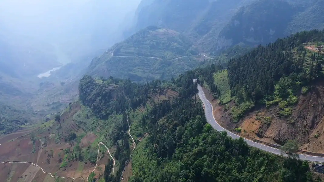
Ma Pi Leng is the pass most people come to the Ha Giang Loop for: about 20 km of National Route 4C between Dong Van and Meo Vac, at around 1,500 m. The road was cut into the limestone cliffs by young volunteers in the 1960s. Below it, the green Nho Que River runs through Tu San Canyon, 700 to 800 m down. Ha Giang has been part of Tuyen Quang province since July 2025.
This guide covers the history of the pass, the viewpoints, the boat on the river, safety and the best light for photos.
Where it is, and how the road was built
Ma Pi Leng is often called the king of Vietnam’s mountain passes. It sits inside the Dong Van Karst Plateau UNESCO Global Geopark, and the road itself is the work of the people who built it by hand.
| Pass Specification | Key Metric / Detail | Significance for Travelers |
|---|---|---|
| Pass Length | 20 kilometers (QL4C) | Connects Dong Van Ancient Town to Meo Vac Valley |
| Peak Elevation | 1,500 meters (4,921 ft) | Sweeping alpine panoramas, crisp mountain air |
| Vertical Gorge Depth | 700m to 800m drop | Sheer limestone canyon down to Nho Que River |
| Construction Heritage | The Road of Happiness (1959-1965) | Built by 16 ethnic groups and youth volunteer brigades |
| Key Geological Feature | Tu San Canyon | Deepest tectonic karst canyon in Southeast Asia |
Our advice: do not rush it. Stop at the top, look down into Tu San Canyon, and give yourself time before riding on.
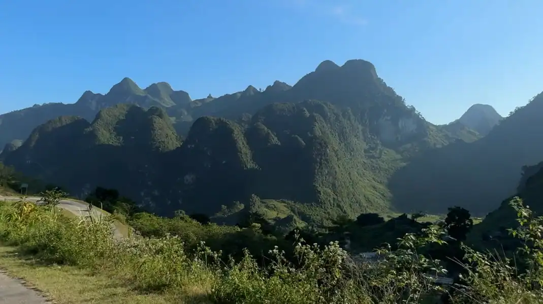
Viewpoints and walks
- Ma Pi Leng monument and rest area: at the middle of the pass, with viewing platforms and a memorial to the road builders.
- White Cliff path (Vach Da Trang): a walking path of about 3 km along the cliff above the road, to a rock ledge looking straight down into Tu San Canyon.
- Boat on the Nho Que River: go down to the piers at Ta Lang or Sin Thau for a boat trip of about 45 minutes between the canyon walls, around 700 m high.
Safety, weather and road conditions
| Season & Months | Daytime Temp | Visibility & Pass Conditions | Riding Recommendation |
|---|---|---|---|
| Autumn (Sept – Nov) | 18°C to 24°C | Crystal clear skies, golden sunshine, dry tarmac | Prime Touring Window |
| Winter (Dec – Feb) | 8°C to 15°C | Cold mountain winds, morning sea-of-clouds | Excellent (Cloud Hunting) |
| Spring (Mar – Apr) | 16°C to 22°C | Mild temperatures, blooming peach and plum flowers | Very Good |
| Summer (May – Aug) | 24°C to 30°C | Occasional heavy afternoon showers, slippery bends | Caution Required |
Safety and packing checklist
- Full-face or 3/4 helmet: required, and it keeps the wind out on the high passes.
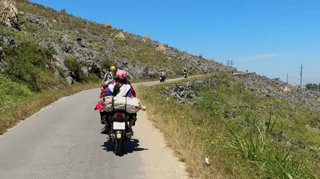
- Riding as a passenger: Your easy rider handles gears and braking on the steep descents. Keep your feet on the footpegs and lean with the rider, not against them.
- Polarising filter (CPL): useful for cameras, to cut the haze and bring out the colour of the river.
- Windproof jacket: for strong crosswinds and sudden drops in temperature at 1,500 m.
- Border Area Permit: required for all foreigners travelling through Dong Van and Meo Vac.
Frequently asked questions
How long does Ma Pi Leng Pass take?
The pass is only 20 km, but allow 2.5 to 4 hours if you want the viewpoints, the White Cliff walk and the boat.
Is Ma Pi Leng safe for first-time visitors?
The tight bends and steep drops scare many first-time visitors. TVPalm only runs easy rider tours, so a local rider takes the pass for you and you can look at the view.
When is the best light for photos?
From 07:00 to 08:30 in the morning and from 16:00 to 17:30 in the afternoon, when the light comes from the side and the limestone glare is lower.
Written by Nguyễn Văn Trung, founder of TVPalm. He has led small-group trips across Northeast Vietnam since 2021.


