

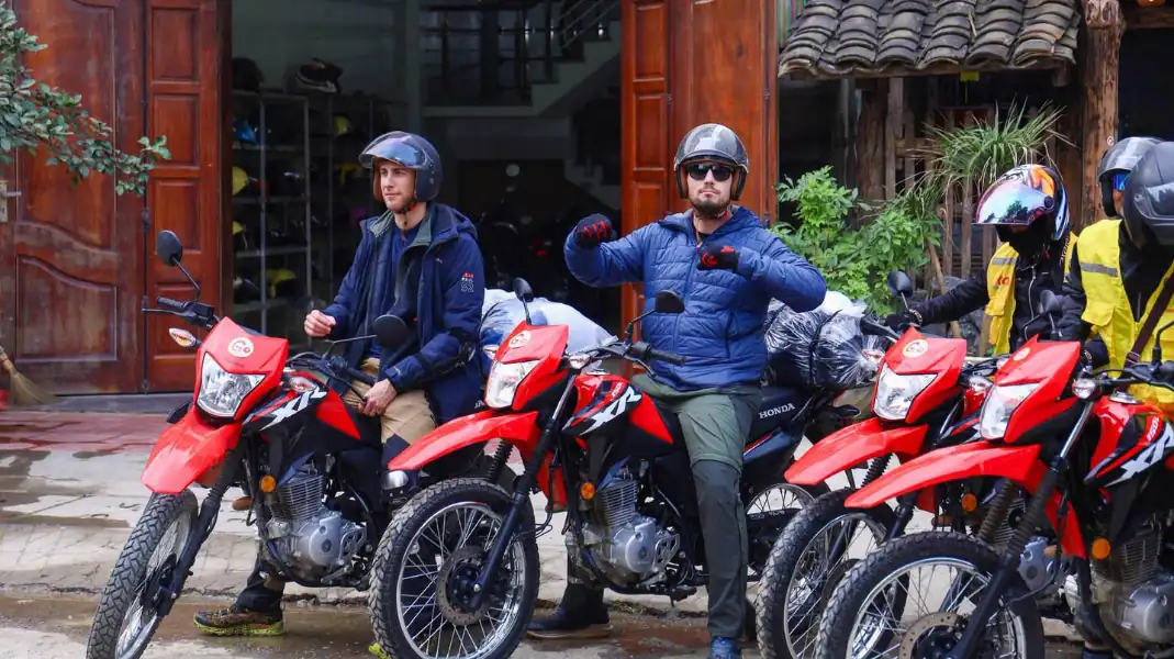
Our 2-day Tay Con Linh trek takes you to the 2,428 m summit, the highest point in Northeast Vietnam, in two full days. It is the same walk as our 3-day trek, without the rest day at the start.
Day 1 crosses four Dao Ao Dai villages: Khuoi My and Lung Vai on the eastern slopes, then Na Mau and Xa Phin on the north-western side. Day 2 climbs to the summit through primary forest. Here is what the trek really involves, so you can decide whether it is right for you.
The trek at a glance
The trek starts and ends at TVPalm Ecolodge, near Khuoi My, about 10 km from the centre of Ha Giang city (part of Tuyen Quang province since July 2025). It can also start from a hotel in Ha Giang city.
| Start and end | TVPalm Ecolodge (from 240 USD), or a hotel in Ha Giang city (from 260 USD) |
| Walking | About 12.5 km on day 1; about 14.5 km on day 2, including the easy rider ride |
| Climbing | About 600 m from the ranger hut (1,800 m) to the summit (2,428 m) |
| Night | Dao Ao Dai stilt-house homestay in Xa Phin (920 m) |
| With you | An English-speaking guide and local porters from the Tay Con Linh Sustainable Tourism Cooperative |
| Insurance | PVI Inbound 2 travel insurance included (cover up to 25,000 USD per guest) |
| Booking | Health form, proof of travel insurance and a 45% deposit required |
“The 2-day trek is for fit walkers who are short on time. It is the same mountain and the same walk as our 3-day trek, only without the rest day. We do not make the mountain easier to sell more seats: if you are not sure it is for you, write to us and we will give you a straight answer.” – Nguyễn Văn Trung, Founder, TVPalm
Day 1: through the Dao Ao Dai villages to Xa Phin (about 12.5 km)
Morning: Khuoi My and Lung Vai
- Start: set off on foot from TVPalm Ecolodge in the morning.
- The trail: earth paths and village steps.
- Scenery: the trail crosses the Dao Ao Dai villages of Khuoi My and Lung Vai, on the eastern slopes, past terraced fields, palm forest and mountain streams.
- Lunch: a home-cooked meal with a family in Lung Vai.
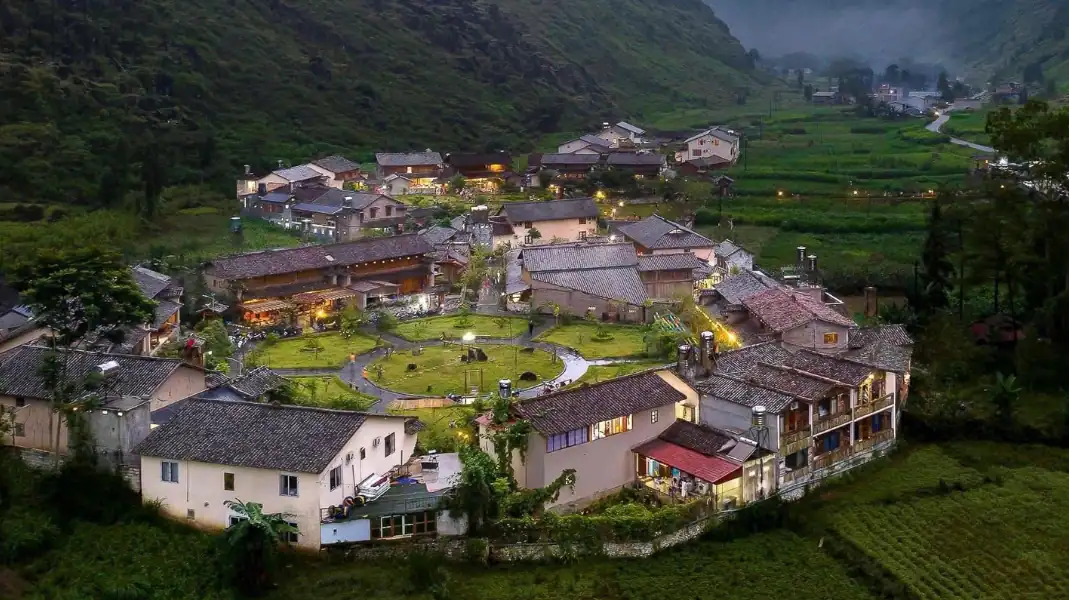
Afternoon: round to Na Mau and Xa Phin, on the north-western side
- The walk: about 5 to 6 hours in all, through Na Mau to Xa Phin.
- The night: a Dao Ao Dai stilt-house homestay in Xa Phin (920 m), under a moss-covered roof.
- Evening: dinner cooked by the family.
Day 2: the summit at 2,428 m (about 14.5 km)
Easy rider transfer and the forest climb
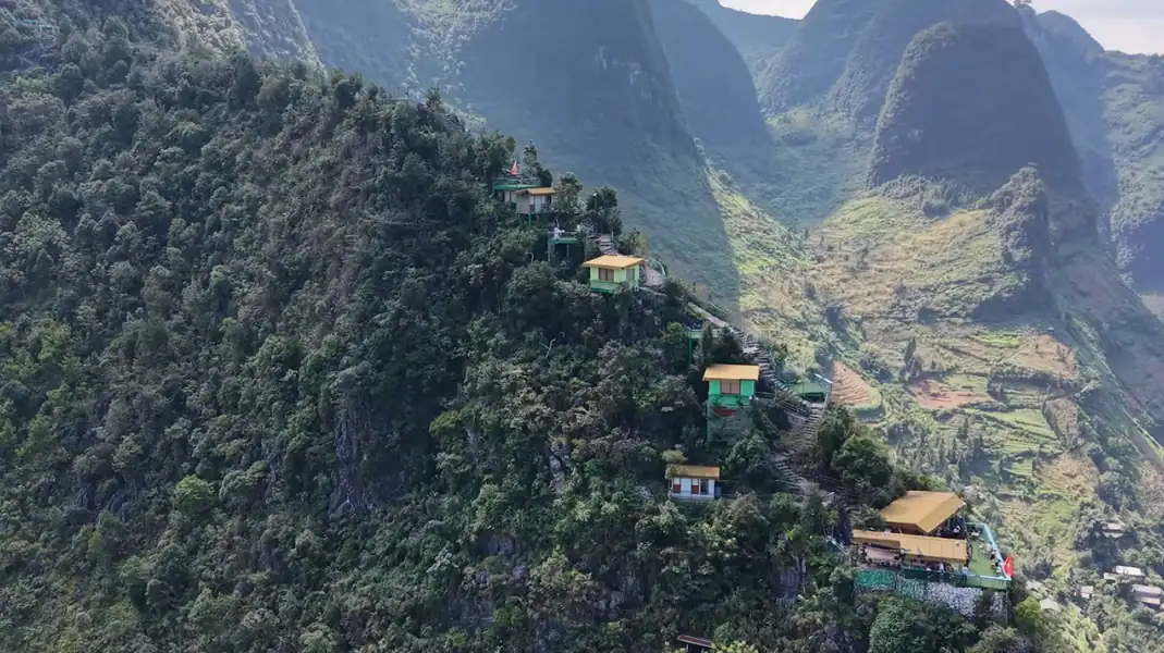
- 06:00: ride from Xa Phin with an easy rider (about 1.5 hours) to the Forest Ranger hut at 1,800 m. It is a short stop only: you cannot stay or camp there.
- The climb: about 600 m up through primary forest. The steepest part comes first, about 45 minutes of steady climbing over roots and mud. After that, the trail eases.
- Underfoot: roots, mud and wet ground. Trekking poles help a lot.
The summit and the way down
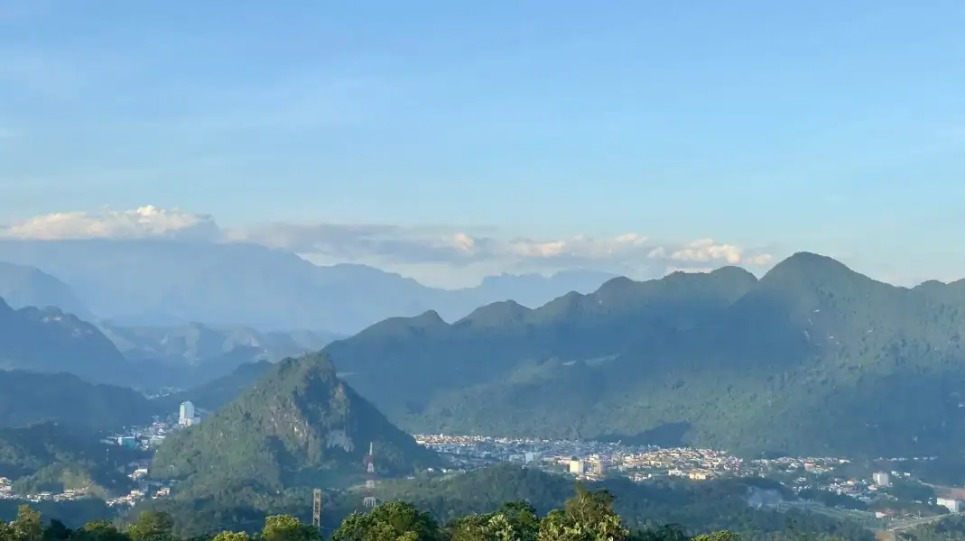
- At the top: if the clouds open, you see the Ha Giang valleys and the border range stretching into China.
- The descent: back down the same way to the ranger hut, then a ride back to Ha Giang city, the bus station or TVPalm Ecolodge.
| Day | Route | Distance and time | Height | Highlights |
|---|---|---|---|---|
| Day 1 | TVPalm Ecolodge → Khuoi My → Lung Vai → Na Mau → Xa Phin | About 12.5 km, 5 to 6 hours | Villages and terraced fields, up to 920 m | Dao Ao Dai villages, lunch with a family, stilt-house homestay |
| Day 2 | Xa Phin → easy rider → ranger hut (1,800 m) → summit (2,428 m) → back | About 14.5 km | About 600 m of climbing | Primary forest and, on a clear day, views to the border range |
2 days or 3 days?
| 2 days, 1 night | 3 days, 2 nights | |
|---|---|---|
| Walking | About 12.5 km + 14.5 km | The same walk |
| Nights | 1 night in Xa Phin | 1 night at TVPalm Ecolodge + 1 night in Xa Phin |
| Pace | Straight into the walk | A rest day first |
| Best for | Fit walkers with little time | Those who want a rested start and more time |
What to bring
Steep, often wet forest trails call for good footwear, warm layers and a border permit.
- Trekking boots: sturdy, broken-in boots with a good grip on wet clay and roots.
- Trekking poles: they protect your knees on the steep descent.
- Layers: a light T-shirt for the valleys and a fleece or warm jacket for the summit, which is much colder.
- Rain jacket: mist and showers can come at any time.
- Water: keep it easy to reach on the climb.
- Border permit: Tay Con Linh is in a border area. TVPalm arranges the permit for you (260,000 VND, about 10 USD per guest).
FAQ
Is the 2-day trek suitable for beginners?
It suits active people in good general health, even without mountain experience. The easy rider ride on day 2 means the climb is about 600 m, but the forest is steep and muddy, and day 1 is a long walk. This is a demanding trek: TVPalm asks for a health form and proof of travel insurance before departure.
Where do you sleep?
In a Dao Ao Dai stilt-house homestay in Xa Phin, with a mattress, blankets and a mosquito net. It is a family home: simple and warm, not a hotel.
When is the best time to go?
October and November usually bring dry trails and clear views. December to February can be cold but beautiful, sometimes with seas of cloud. Spring is mild. The rainy season, roughly May to September, makes the trails muddy and slippery.
Written by Nguyễn Văn Trung, Founder of TVPalm, a specialist in mountain road travel, trekking and ecolodge stays in Northeast Vietnam.


